John Ordway: June 13, 1805
Set out at an eairly hour a heavy diew proceeded on passed
the mouth of a Small River on the Lard Side about 50 yds wide at
the mouth of a muddy coulour and verry rapid, bottoms of
cotton timber for some distance up we named it Snowey River3
as it heads in the mountain covred with Snow to our left, we
passed verry high bluffs on each Side of the River. Some small
bottoms of cotton timber. Saw abundance of wild or choke cherry,
the Goose berrys are now ripe & abound in the River bottoms.
1 On the M. R. C. map, 2,263 miles.
2 Three miles above the point where the Teton River approaches closely
the Missouri, and aboul five miles below Fort Benton.
a Modern Shonkin Creek, which empties into the Missouri four miles below
Fort Benton.
1805] SERGEANT ORDWAY’S JOURNAL 231
also a yallow current the kind I never Saw before, they are nearly
as large as the goose berrys, but Sower & yallow when ripe, we
Came 14 miles to day and Camped on the South Side,1 Some of
the hunters killed a buffalow and 2 Deer to day.
Entities mentioned in this entry
Auto-extracted from the entry text. Hover any entity for context.
Terrain360 · the place today
Near Great Falls, MT — Snow Creek (Highwood Creek) area in 360°
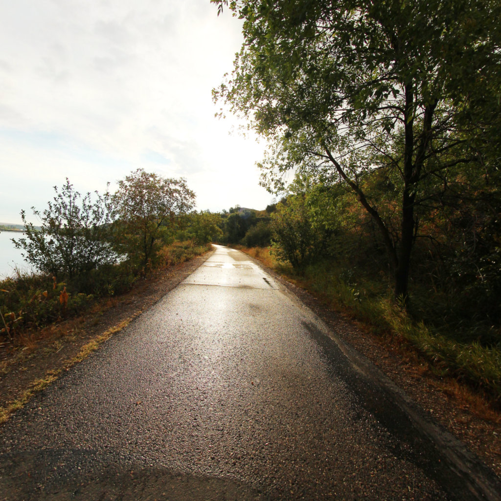
10 frames across 0.2 mi of the route around this location
Help improve this record
See something that needs correcting, or know a source we are missing? The archive gets better through its readers.


