
Aug – Nov 1803
Explore the Trail · night by night · 360° today
Every night of the journey, placed at its NPS campsite, beside the 360° view from that spot today. Start anywhere, or play the whole route.
Aug – Nov 1803

Dec 1803 – May 1804

May – Aug 1804

Sep – Oct 1804

Nov 1804 – Apr 1805

Apr – Jun 1805

Jun – Jul 1805

Aug – Sep 1805

Oct – Nov 1805

Dec 1805 – Mar 1806

Mar – Jul 1806

Jul – Sep 1806
… miles in 360° … panoramas
The marker follows each night’s NPS campsite (Bergantino’s reconstruction; Harlan’s where his is the only one). A solid line is NPS’s course-and-distance line for that day. Both are reconstructions, not surveys.
Some map layers are partially sourced from the National Park Service, Lewis and Clark National Historic Trail Park Atlas.
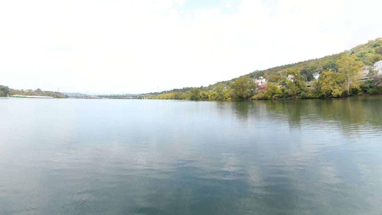
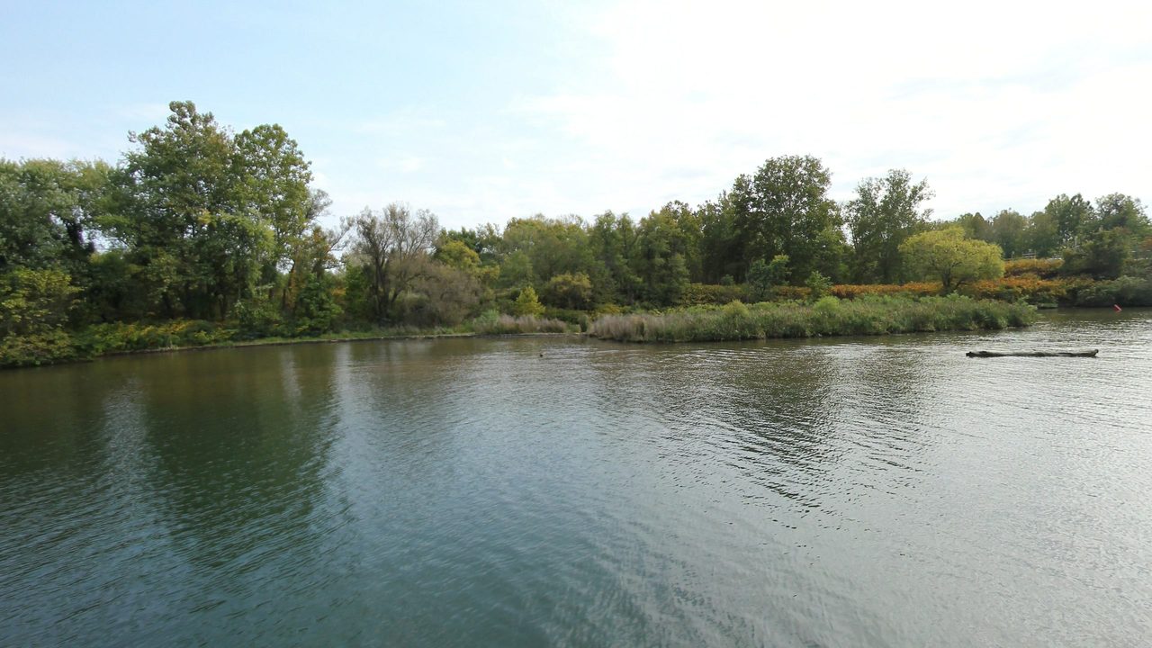
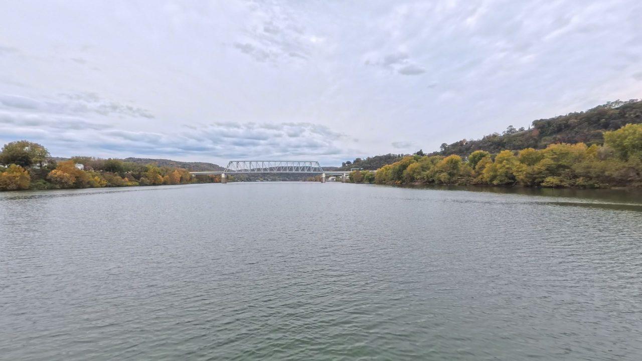
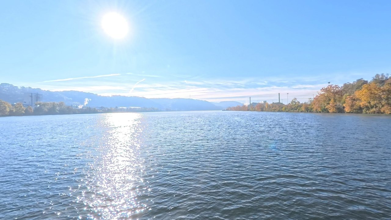
Every stop of the journey in order, at its NPS campsite, with the 360° view of that spot today where Terrain360 has one. A distance chip means the nearest capture is not at the spot itself.
 360° capture 3.0 mi away

 360° capture 1.2 mi away


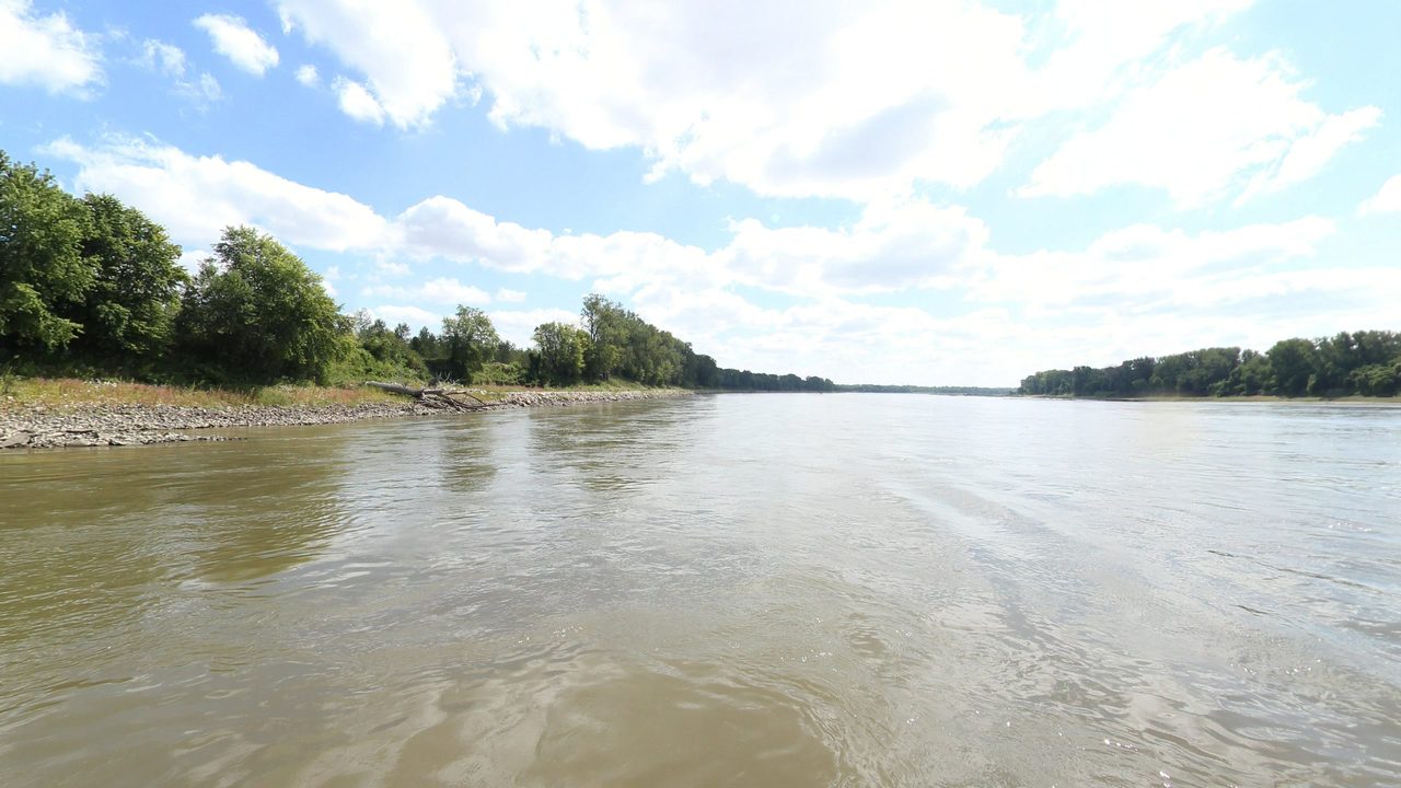 360° capture 1.4 mi away 360° capture 1.4 mi away


 360° capture 1.3 mi away


 360° capture 2.4 mi away


 360° capture 2.3 mi away


 360° capture 2.9 mi away


 360° capture 1.9 mi away
 360° capture 2.8 mi away
 360° capture 2.4 mi away
 360° capture 3.0 mi away

 360° capture 3.6 mi away

 360° capture 1.1 mi away

 360° capture 1.0 mi away
 360° capture 1.2 mi away


 Nearest 360 · 11 mi Satellite · Esri
 Nearest 360 · 13 mi Satellite · Esri
 360° capture 3.4 mi away


 Nearest 360 · 7.2 mi Satellite · Esri
 Nearest 360 · 19 mi Satellite · Esri
 Nearest 360 · 33 mi Satellite · Esri
 Nearest 360 · 24 mi Satellite · Esri
 Nearest 360 · 21 mi Satellite · Esri
 Nearest 360 · 9.9 mi Satellite · Esri
 Nearest 360 · 9.7 mi Satellite · Esri
 360° capture 3.2 mi away 360° capture 2.1 mi away
 Nearest 360 · 5.8 mi Satellite · Esri
 Nearest 360 · 6.5 mi Satellite · Esri

 Nearest 360 · 9.6 mi Satellite · Esri
 Nearest 360 · 10 mi Satellite · Esri
 360° capture 2.5 mi away
 Nearest 360 · 6.8 mi Satellite · Esri
 Nearest 360 · 17 mi Satellite · Esri 360° capture 2.1 mi away
 Nearest 360 · 16 mi Satellite · Esri
 Nearest 360 · 22 mi Satellite · Esri
 Nearest 360 · 8.8 mi Satellite · Esri


 360° capture 1.2 mi away


 Nearest 360 · 17 mi Satellite · Esri
 Nearest 360 · 17 mi Satellite · Esri
 Nearest 360 · 9.7 mi Satellite · Esri
 Nearest 360 · 13 mi Satellite · Esri

 360° capture 1.6 mi away

 360° capture 1.2 mi away
 360° capture 1.1 mi away

 360° capture 1.4 mi away


 Nearest 360 · 15 mi Satellite · Esri
 Nearest 360 · 19 mi Satellite · Esri
 Nearest 360 · 35 mi Satellite · Esri
 Nearest 360 · 45 mi Satellite · Esri
 Nearest 360 · 38 mi Satellite · Esri
 Nearest 360 · 31 mi Satellite · Esri
 Nearest 360 · 23 mi Satellite · Esri
 Nearest 360 · 10 mi Satellite · Esri


 360° capture 2.2 mi away

 Nearest 360 · 13 mi Satellite · Esri
 Nearest 360 · 13 mi Satellite · Esri
 Nearest 360 · 6.4 mi Satellite · Esri
 Nearest 360 · 17 mi Satellite · Esri
 Nearest 360 · 12 mi Satellite · Esri
 360° capture 2.6 mi away 360° capture 2.0 mi away

 360° capture 2.0 mi away 360° capture 2.0 mi away
 360° capture 1.3 mi away


 Nearest 360 · 13 mi Satellite · Esri
 Nearest 360 · 15 mi Satellite · Esri
 Nearest 360 · 19 mi Satellite · Esri
 Nearest 360 · 6.2 mi Satellite · Esri
 Nearest 360 · 13 mi Satellite · Esri
 Nearest 360 · 6.4 mi Satellite · Esri

 360° capture 3.3 mi away
 Nearest 360 · 12 mi Satellite · Esri
 Nearest 360 · 17 mi Satellite · Esri
 Nearest 360 · 27 mi Satellite · Esri
 Nearest 360 · 36 mi Satellite · Esri
 Nearest 360 · 43 mi Satellite · Esri
 Nearest 360 · 42 mi Satellite · Esri
 Nearest 360 · 44 mi Satellite · Esri
 Nearest 360 · 39 mi Satellite · Esri
 Nearest 360 · 35 mi Satellite · Esri
 Nearest 360 · 32 mi Satellite · Esri
 Nearest 360 · 26 mi Satellite · Esri
 Nearest 360 · 21 mi Satellite · Esri
 Nearest 360 · 17 mi Satellite · Esri
 Nearest 360 · 12 mi Satellite · Esri
 Nearest 360 · 6.5 mi Satellite · Esri
 360° capture 1.1 mi away
 Nearest 360 · 7.4 mi Satellite · Esri
 Nearest 360 · 14 mi Satellite · Esri
 Nearest 360 · 9.0 mi Satellite · Esri
 Nearest 360 · 15 mi Satellite · Esri
 Nearest 360 · 11 mi Satellite · Esri
 Nearest 360 · 14 mi Satellite · Esri
 Nearest 360 · 12 mi Satellite · Esri
 Nearest 360 · 11 mi Satellite · Esri
 Nearest 360 · 11 mi Satellite · Esri
 360° capture 3.0 mi away
 Nearest 360 · 5.9 mi Satellite · Esri
 Nearest 360 · 10 mi Satellite · Esri
 Nearest 360 · 29 mi Satellite · Esri
 Nearest 360 · 19 mi Satellite · Esri

 Nearest 360 · 7.5 mi Satellite · Esri
 Nearest 360 · 5.0 mi Satellite · Esri 360° capture 2.6 mi away


 360° capture 1.4 mi away
 Nearest 360 · 8.8 mi Satellite · Esri
 Nearest 360 · 9.2 mi Satellite · Esri


 Nearest 360 · 5.8 mi Satellite · Esri


 360° capture 3.5 mi away


 360° capture 2.8 mi away

 360° capture 1.4 mi away
 360° capture 2.4 mi away
 360° capture 1.7 mi away


 360° capture 1.7 mi away


 360° capture 2.3 mi away


 360° capture 1.0 mi away

 360° capture 1.4 mi away
 Nearest 360 · 9.4 mi Satellite · Esri
 Nearest 360 · 19 mi Satellite · Esri
 Nearest 360 · 17 mi Satellite · Esri
 Nearest 360 · 11 mi Satellite · Esri


 360° capture 2.0 mi away
 360° capture 2.1 mi away
 360° capture 3.5 mi away


 Nearest 360 · 8.8 mi Satellite · Esri
 360° capture 3.0 mi away
 Nearest 360 · 8.8 mi Satellite · Esri 360° capture 2.2 mi away


 Nearest 360 · 5.5 mi Satellite · Esri
 Nearest 360 · 29 mi Satellite · Esri
 Nearest 360 · 15 mi Satellite · Esri
 360° capture 4.3 mi away
 Nearest 360 · 10 mi Satellite · Esri
 Nearest 360 · 22 mi Satellite · Esri
 Nearest 360 · 30 mi Satellite · Esri
 Nearest 360 · 42 mi Satellite · Esri
 Nearest 360 · 9.8 mi Satellite · Esri
 360° capture 4.3 mi away


 Nearest 360 · 68 mi Satellite · Esri
 Nearest 360 · 62 mi Satellite · Esri
 Nearest 360 · 45 mi Satellite · Esri

 Nearest 360 · 51 mi Satellite · Esri
 Nearest 360 · 5.4 mi Satellite · Esri

 Nearest 360 · 14 mi Satellite · Esri
 Nearest 360 · 42 mi Satellite · Esri
 Nearest 360 · 16 mi Satellite · Esri


 Nearest 360 · 12 mi Satellite · Esri
 Nearest 360 · 15 mi Satellite · Esri


 Nearest 360 · 22 mi Satellite · Esri
 Nearest 360 · 6.2 mi Satellite · Esri
 360° capture 2.7 mi away
 360° capture 3.4 mi away 360° capture 2.1 mi away
 Nearest 360 · 12 mi Satellite · Esri
 Nearest 360 · 32 mi Satellite · Esri

 360° capture 1.0 mi away
 360° capture 2.3 mi away


 360° capture 3.3 mi away
 360° capture 3.3 mi away


 360° capture 1.1 mi away





New findings, additions, and corrections from the archive. One email a month, no noise.
Spotted something wrong, missing, or want to contribute? Tell us — we read every submission.