Clark: May 7, 1805
May 7th Tuesday, 1805 A fine morning river rose 11/2 Inches last night,
the drift wood beginning to run the water Something Clearer than usial,
the wind became verry hard, and at 11 oClock one Canoe by bad Stearing
filled with water, which detained us about 3 hours, had a Meridian
altitude, the Laid. from which is 47°36′ 11″ 6/10 The Countrey on the
North Side of the Missouri is one of the handsomest plains we have yet
Seen on the river the plain rises from the river bottom gradually. The
Hills on the South Side is high & uneavin. no appearance of Coal or
burnt hills, that of Salts Still appear; vegitation appears to be Slow, I
walked on the bank to day and Shot 2 beaver, in the evening Killed two
Buffalow in tolerable order which we Saved and Camped on the Lard Side. 8
beaver, 3 buffalow & an Elk killed to day
Entities mentioned in this entry
Auto-extracted from the entry text. Hover any entity for context.
Terrain360 · the place today
Missouri River at the Milk River confluence in 360°
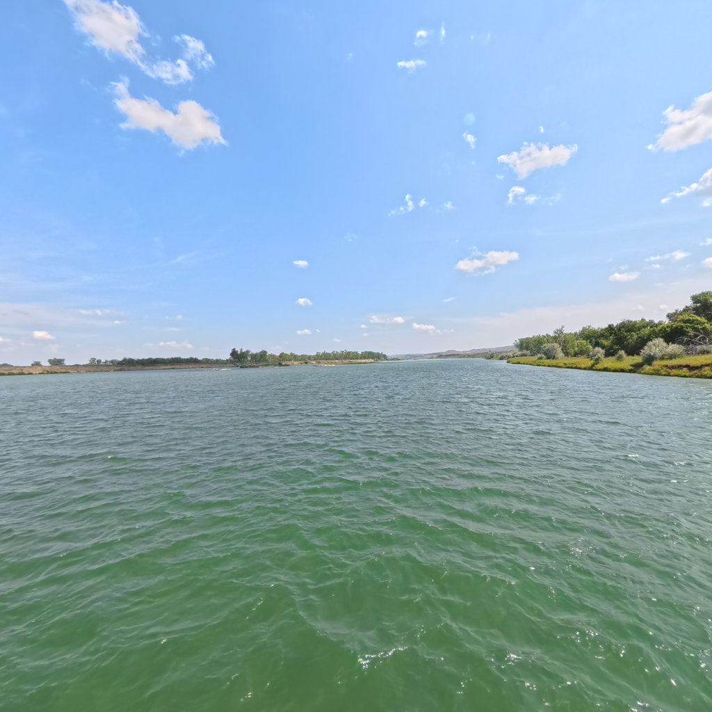
10 frames across 1.4 mi of the route around this location
Help improve this record
See something that needs correcting, or know a source we are missing? The archive gets better through its readers.


