Clark: July 13, 1804
My notes of the 13th of July by a Most unfortunate accident blew over
Board in a Storm in the morning of the 14th obliges me to refur to the
Journals of Serjeants, and my own recollection the accurrences Courses
Distance &c. of that daylast night a violent Storm from the N.
N, E.- (1) passed Tar-ki-o River, at 2 miles a chant. running into this
river 3 ms. abov forms St Josephs Isld. Passed an elegt Prarie in the 1st
bend to the left. Containg a grass resmlg Timothy, with Seed like flax,
(2) passed a Island in a bend to the S. S. at 12 ms. I walked on Shore S.
S. lands, low & overflows, Killed two Goslings nearly Grown, Sailed
under a Wind from the South all day, Camped on a Sand Island on the L. Pt.
opposit a high & extensiv Prarie, on the S. S. the Hills about 4 or 5
me. off, this Plain appears extensive, great appearance of a Storm from
the North W. this evening verry agreeable the wind Still from the South-
from the Osagies Nation with twenty odd of the Natives or chiefs of the
Nation with him sailed dowen the Mississippi bound to St Louis & 3
guns fired showers of rain Showers of Rain all that night
—
July 13th Friday 1804 Set out at Sun rise, and prosd. on under a gentle
Breeze, at two miles passed the mouth of a Small river on the S. S. Called
by the Indians Tarki-o, a Channel running out of the river three miles
above (which is now filled up with Sand) runs into this Creek & and
formed a Island Called St.
Josephs Several Sand bars parralel to each other aboveIn the first
bend to the left is Situated a Butifull & extensive plain, Cover’d
with Grass resembling Timothy except the Seed which resembles Flax Seed,
this plain also abounds in Grapes of defferent Kinds Some nearly ripe. I
Killed two Goslings nearly Grown, Several others Killed and cought on
Shore, also one old Goose, with pin fethers, She Could not flyat
about 12 miles passd. a Island Situated in a bend on the S. S. above this
Island is a large Sand bar Covered with willows. The wind from the South,
Camped on a large Sand Bar makeing out from the L. P. opposit a high
hanson Prarie, the hills about 4 or 5 miles on S. S. this plain appeard
extensive, the Clouds appear to geather to the N. W. a most agreeable
Breeze from the South (I walked on Shore on the S. S. the lands are low
Subject to overflow)
Last night at about 10 oClock a violent Storm of wind from the N. N. E.
which lasted with Great violence for about one hour, at which time a
Shower of rain Succeeded.
The men on Shore did not join us this after noonThe river nearly on
a Standthe high lands on the S. S. has only been Seen at a Distance
above the Nordaway River, those on the S. L. aproaching the river at every
bend, on the Side next to the river well timbered, the opsd. Side open
& the Commencmt. of Plains.
Entities mentioned in this entry
Auto-extracted from the entry text. Hover any entity for context.
Terrain360 · the place today
Missouri River above St. Joseph in 360°
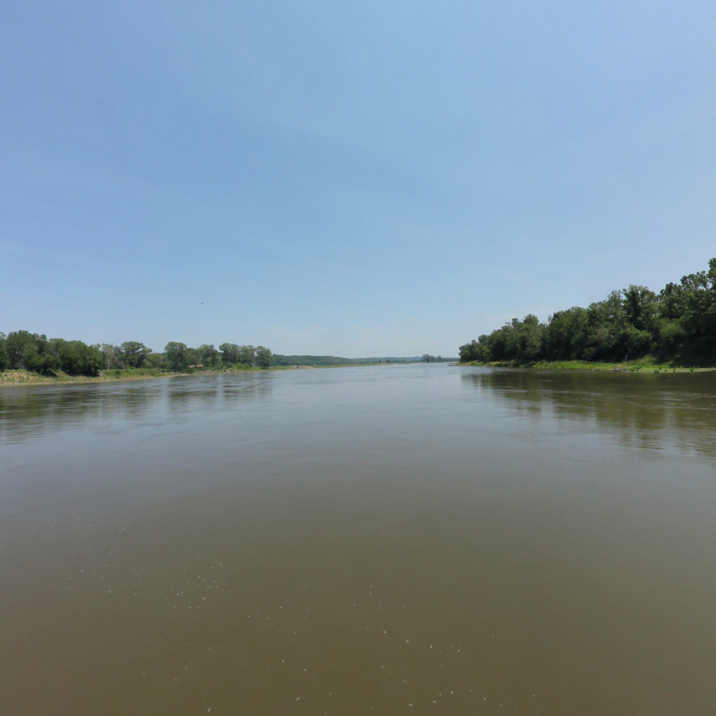
10 frames across 0.9 mi of the route around this location
Artwork
Help improve this record
See something that needs correcting, or know a source we are missing? The archive gets better through its readers.


