Clark: May 26, 1804
May 26th 1804. Set out at 7 oClock after a hard rain & Wind, &
proceed on verry well under Sale. Wind from the E N E
The wind favourable to day we made 18 miles a Cloud rais & wind &
rain Closed the Day
—
May the 26th Sattarday 1804. Set out at 7 oClock after a heavy Shour of
rain (George Drewyer & John Shields, Sent by Land with the two horses
with directions to proceed on one day & hunt the next) The wind
favourable from the E N E passed Beef Island and river on Lbd Side at 31/2
Ms Passed a Creek on the Lbd. Side Called Shepperds Creek, passed Several
Islands to day great Deal of Deer Sign on the Bank one man out hunting, w
Camped on an Island on the Starboard Side near the Southern extrem of
Luter Island.
Entities mentioned in this entry
Auto-extracted from the entry text. Hover any entity for context.
Terrain360 · the place today
Missouri River near Gasconade River in 360°
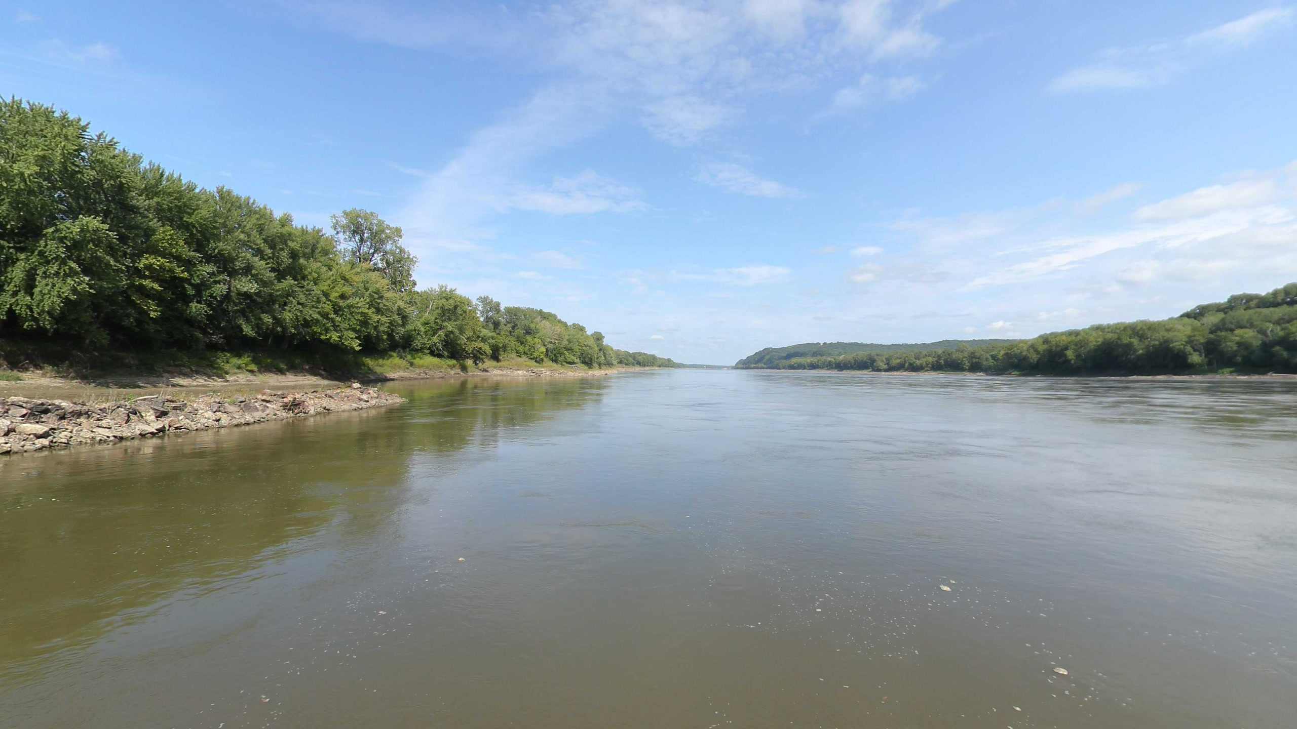
10 frames across 1.6 mi of the route around this location
Analyses
Artwork
Help improve this record
See something that needs correcting, or know a source we are missing? The archive gets better through its readers.


