Clark: May 29, 1804
Tuesday 29th May Sent out hunters, got a morning obsvtn and one at 12
oClock, rained last night, the river rises fast The Musquetors are verry
bad, Load the pierogue
—
May 29th 1804 Set out from the mouth of the gasconnade, where we took
obsevn &c. left a Perogue for a man lost in the woods, Course N. 54 W
2 m to a point Lb. Side. Passed the Isd. on which we Camped, river still
rised, water verry muddey N. 78° W 2 Ms. to a pt. on Lb Side passed two
willow Islands first Smaller and a Creek on Lbd. called Deer Creek one
oposit the point St. Side and incamped on the Lb Side rain all night the
tents together along the N; 76 W 25 Poles S 26 W, to the point aboveS
19° to the pot below the River
—
May 29th Tuesday rained last night, Cloudy morning 4 hunters Sent out with
Orders to return at 12 oClock Took equal altitudes of Suns Lower limb
found it 105° 31′ 45″
Cap Lewis observed meridean altitude of sun U L-back observation with the
octant & artificeal horozengave for altitude on the Limb 38°
44′ 00″ sun octant Error 2 0 0 +
had the Perogues loaded and all perpared to Set out at 4 oClock after
finishing the observations & all things necessary found that one of
the hunters had not returned, we deturmined to proceed on & leave one
perogue to wate for him, accordingly at half past four we Set out and came
on 4 miles & camped on the Lbd Side above a Small Creek Called Deer
Creek, Soon after we came too we heard Several guns fire down the river,
we answered them by a Discharge of a Swivile on the Bow
Entities mentioned in this entry
Auto-extracted from the entry text. Hover any entity for context.
Terrain360 · the place today
Missouri River near Gasconade River in 360°
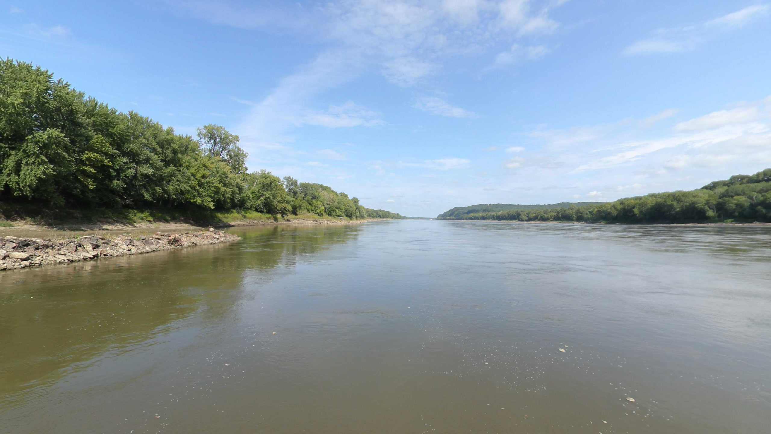
10 frames across 1.6 mi of the route around this location
Artwork
Help improve this record
See something that needs correcting, or know a source we are missing? The archive gets better through its readers.


