Clark: August 22, 1804
22nd of August Wendesday 1804 Set out early wind from the South. G Shannon
joined the Boat last night. Course this morning is S 47° W. 11/4 on the S.
point West 11/4 me. to the Commencement of a Bluff on the L. S. the High
land near the river for Some distance below. This Bluff contain Pyrites
alum, Copperass & a Kind Markesites also a clear Soft Substance which
will mold and become pliant like wax) Capt lewis was near being Poisened
by the Smell in pounding this Substance I belv to be arsenic or Cabalt. I
observe great Quantity of Cops. ans and almin pure & Straters of white
& brown earth of 6 Inch thick. a Creek Corns in above the Bluffs on
which there is great quantities of those minerals, This Creek I call
Roloje a at those Allom banks Shields joined in with two Deer
Camped on the S. S. a Great Deel of Elk Sign fresh Capt. Lewis took a Dost
of Salts this evening to carry off the effects of (arsenec) or cobalt
which he was trying to find out the real quallity (2) passed a Clift of
Rock much impregnated with alum, Containing also a great quantity of
Cabalt
ordered a Vote of the men for a Sergeant of the three highest numbers a
choice to be made Gass Bratton & GibsonGass is worth remark,
that my Ink after Standing in the pot 3 or four days Soaks up & becons
thick
—
22nd August Friday 1804 Set out early wind from the South at three miles
we landed at a Bluff where the two men Sent with the horses were waiting
with two Deer, by examonation of this (1) Bluff Contained alum, Copperas,
Cobalt, Pyrites; a alum rock Soft & Sand Stone. Capt. Lewis in
proveing the quality of those minerals was near poisoning himself by the
fumes & tast of the Cabalt which had the appearance of Soft IsonglassCopperas
& alum is verry pure, Above this Bluff a Small Creek Coms in from the
L. S. passing under the Clifts for Several miles, this Creek I Call Roloje
a name I learned last night in my Sleep. (2) Eight) Seven miles above is a
Clift of Allom Stone of a Dark Brown Colr. Containing also in crusted in
the Crevices & Shelves of the rock great qts. of Cabalt, Semented
Shels & a red earth. from this the (3) river bends to the East and is
within 3 or 4 miles of the River Soues at the place where that river Coms
from the high land into the Low Prarie & passes under the foot of
those Hills to its mouth.
Capt Lewis took a Dost of Salts to work off the effects of the Arsenic, we
Camped on the S. S. Sailed the greater part of this day with a hard wind
from the S. E. great deel of Elk Sign, and great appearance of wind from
the N. W.
ordered a vote for a Serjeant to chuse one of three which may be the
highest number the highest numbers are P. Gass had 19 Votes, Bratten &
Gibson
Entities mentioned in this entry
Auto-extracted from the entry text. Hover any entity for context.
Terrain360 · the place today
Missouri River near Vermillion area in 360°
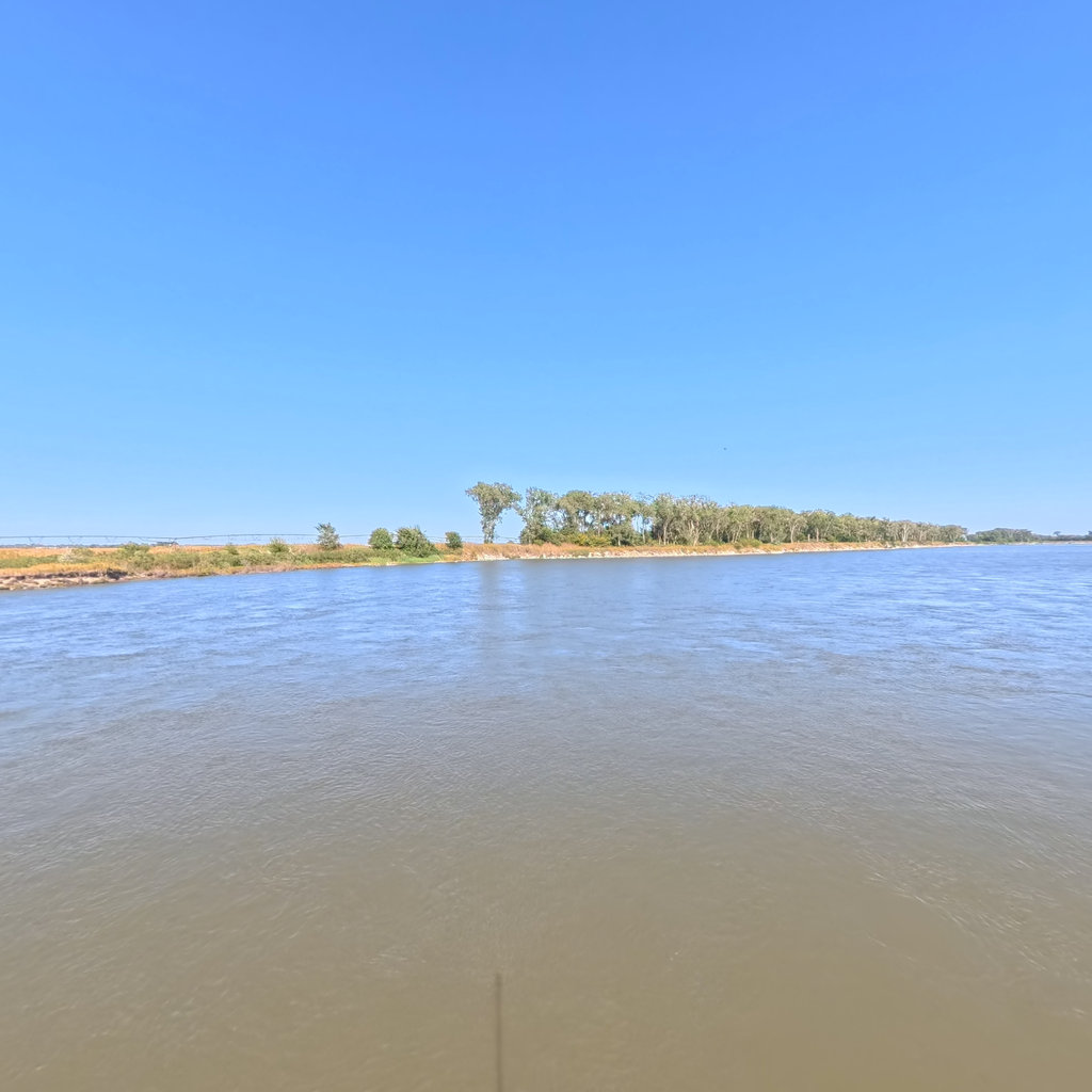
10 frames across 1.6 mi of the route around this location
Analyses
Artwork
Help improve this record
See something that needs correcting, or know a source we are missing? The archive gets better through its readers.


