
Journal entry · September 4, 1803
Meriwether Lewis: September 4, 1803
Meriwether Lewis · Georgetown, Pennsylvania
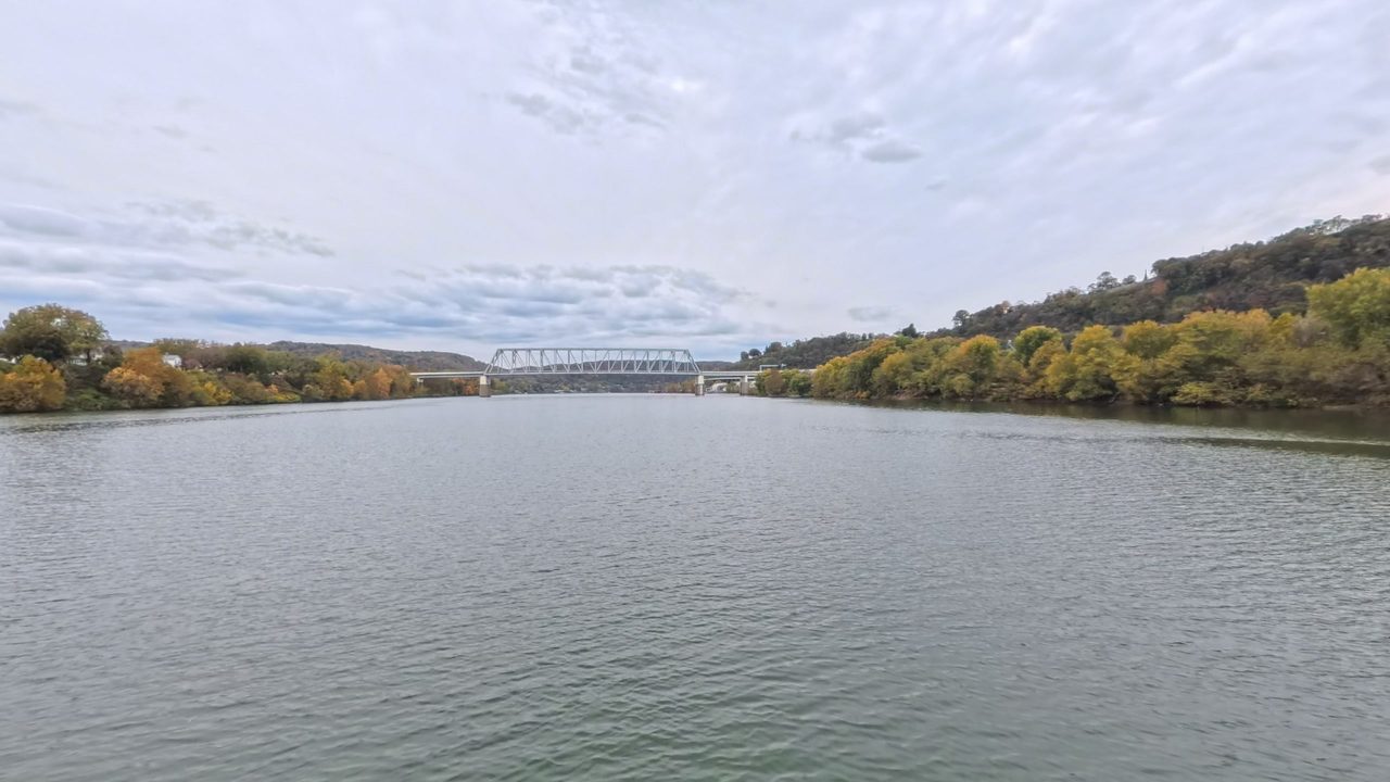
That night's camp, per the NPS campsite reconstruction (Bergantino): 2 mi below PA-VA (now WV) border
Sept. 4th 1803.
Morning foggy, obliged to wait. Thermometer at 63° temperature of the river-water 73° being a difference of ten degrees, but yesterday there was a difference of twelve degrees so that the water must have changed it 10 temperature 2d in twenty four hours, coolder: at ¼ past 8. the murcury rose in the open air to 68° the fogg dispeared. and we set out; the difference therefore of 5° in temperature between the warter and air is not sufficient to produce the appearance of fogg—from the watermark we fixed last evening it appeared that the river during the night had fallen an inch perpendicularly.—the Perogue was loaded as his been my practice since I left Pittsburgh, in order as much as posseble to lighten the boat, the [men] who conducted her called as in distress about an hour after we had got under way, we came too and waaited her coming up found she had sprung a leek and had nearly filled: this accedent was truly distressing, as her load consisting of of articles of hard-ware, intended as presents to the Indians got wet and I fear are much damaged; proceeded about three miles further got fast on a bar below georgetown, and with the assistance of some of the neighboring people got over it with much difficulty; at Georgetown purchased a canoe compleat with two paddles and two poles for which I gave 11.$, found that my new purchase leaked so much that she was unsafe woithout some repairs; came too about a mile below the riffle on the east shore pretty early in the evening where we stayed all night having made about thirteen miles this day. opened the articles which had got wet and exposed them to the sun; set some of my hands to repareing the canoes which I effected before night had the articles well oiled and put up in oilcloth baggs and returned to the casks in which they were previously were, hired another hand to go with me as far as Wheeling—the articles were not as much injured as I had supposed.—about two miles above my camp passed the line, which divides the States of Virginia and Pensylvania on the east side of the river and on the West that of Pensylvania from the State of Ohio; this line is made vi[si]ble from the timber having been felled about sixty feet in width, the young timber has spring up but has not yet attained the hight of the other that it can with ease be traced with the eye a considerable distance—it passed the Ohio River at the mouth of mill Creek. The water is so low and clear that we see a great number of Fish of different kinds, the Sturgeon, Bass, Cat fish, pike, &c. we fixed some spears after the indian method but have had too much to attend to of more importance than gigging fish.
Source: Lewis’s 1803 journal, printed in Quaife, The Journals of Captain Meriwether Lewis and Sergeant John Ordway (Wisconsin Historical Society, 1916), pp. 35-36. Public domain.
Entities mentioned in this entry
People:
Places:
Tools:
Weather:
Trade Goods:
Auto-extracted from the entry text. Hover any entity for context.
The NPS atlas for this night
2 mi below PA-VA (now WV) border
NPS campsite reconstruction (Bergantino)
Source: National Park Service, Lewis and Clark National Historic Trail Park Atlas.
Help improve this record
See something that needs correcting, or know a source we are missing? The archive gets better through its readers.


