
Journal entry · May 15, 1804
Clark: May 15, 1804
William Clark · Camp River Dubois, Illinois
That night's camp, per the NPS campsite reconstruction (Bergantino): left shore, Pipers Landing, MO
Tuesday 15rained all last night and this morning untill 7 oClock,
all our fire extinguished, Some Provisions on the top of the Perogus wet,
I sent two men to the Countrey to hunt, & proceed on at 9 oClock, and
proceeded on 9 miles and Camped at a Mr Pip. Landing just below a Coal
Bank on the South Side the prarie Comes with 1/4 of a mile of the river on
the N. Side I sent to the Setlements in the Pairie & purchased fowls
&. one of the Perogue are not Sufficently maned to Keep up.
Refurences from the 15th of May (2) a large Island to the Starboard; (3)
passed a Small Island in the bend to the Starbord, opposit Passage De Soux
and with 11/2 miles of the mississippi, observed a number of Gosselins on
the edge of the river many passing down, Strong water & wind from the
N EPassed a Place Lbord Called the Plattes, a flat rock projecting
from the foot of a hill, where there is a farm, (5) pass an Small Isld
near the Center of the river, run on Several logs this after noon, Camped
at Mr. Pipers Landing.
—
May 15th Tuesday Rained the greater part of the last night, and this
morning untile 7 oClockat 9 oClock Set out and proceeded on 9 miles
passed two Islands & incamped on the Starbd. Side at a Mr. Pipers
Landing opposit an Island, the Boat run on Logs three times to day, owing
her being too heavyly loaded a Sturn, a fair after noon, I Saw a number of
Goslings to day on the Shore, the water excessively rapid, & Banks
falling in-.
Entities mentioned in this entry
Auto-extracted from the entry text. Hover any entity for context.
The NPS atlas for this night
left shore, Pipers Landing, MO
NPS campsite reconstruction (Bergantino)
About 10.6 miles of travel mapped this day (NPS’s reconstruction of the course)
NPS sites within 5 miles of this camp
- Charbonier Bluff (opens in a new tab) NPS High Potential Historic Site · National Register · 4.1 mi
From the NPS Lewis and Clark National Historic Trail Park Atlas, mirrored here on September 21, 2026. This copy is not authoritative; NPS remains the system of record. About the mirror
Terrain360 · the place today
Camp River Dubois, Illinois in 360°
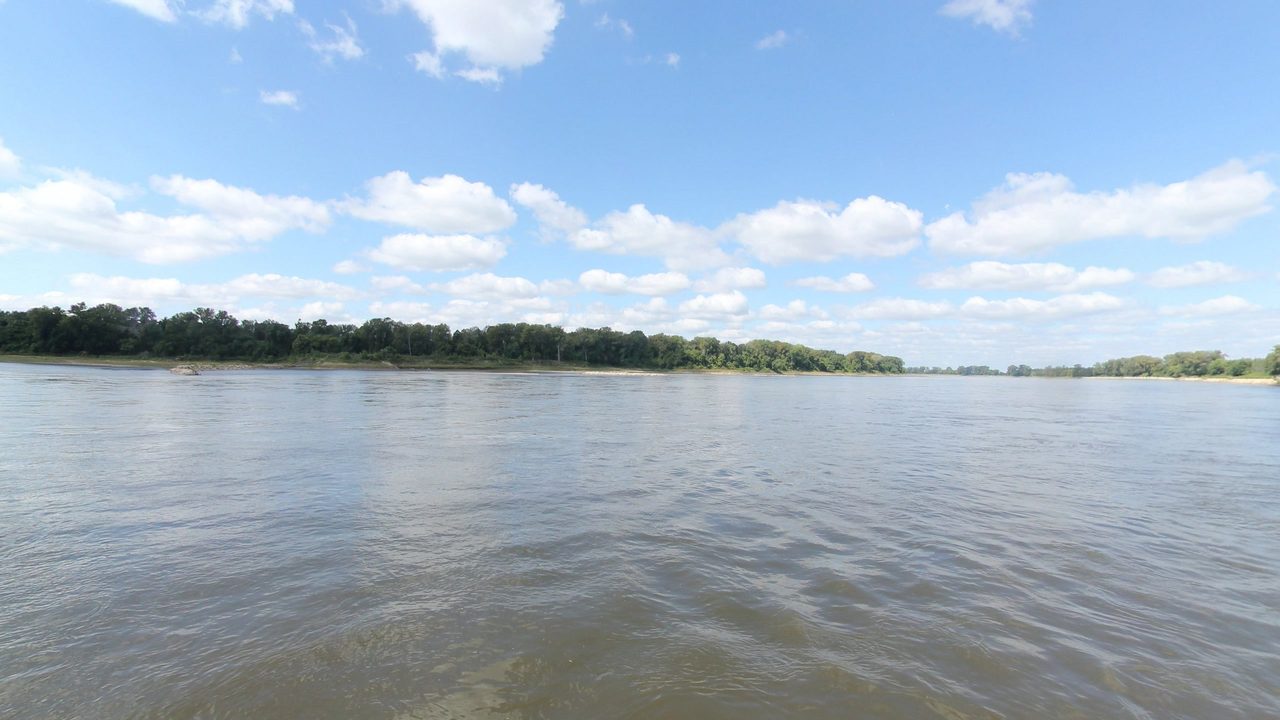
10 frames across 1.6 mi of the route around this location
Analyses
Artwork
Help improve this record
See something that needs correcting, or know a source we are missing? The archive gets better through its readers.


