
Journal entry · May 14, 1804
William Clark: May 14, 1804
William Clark · Camp River Dubois, Illinois · Thwaites Vol. 1, pp. 15-17
That night's camp, per the NPS campsite reconstruction (Bergantino): island left side of Missouri River opposite Coldwater Creek, MO
Monday 14th a Cloudy morning fixing for a Start. Some provisions on examination is found to be wet. rain at 9 oClock. many of the neighbours Came from the Countrey mail and freemail. rained the greater part of the day.
I Set out at 4 oClock P.M. in the presence of many of the neighbouring inhabitents, and proceeded on under a jentle brease up the Missourie to the upper Point of the 1st Island 4 Miles and camped on the Island which is Situated Close on the right (or Starboard) Side, and opposit the mouth of a Small creek called Cold water, a heavy rain this after-noon.
Source: Thwaites, Original Journals of the Lewis and Clark Expedition (1904–05). Public domain.
Entities mentioned in this entry
Auto-extracted from the entry text. Hover any entity for context.
The NPS atlas for this night
island left side of Missouri River opposite Coldwater Creek, MO
NPS campsite reconstruction (Bergantino)
About 5.3 miles of travel mapped this day (NPS’s reconstruction of the course)
NPS sites within 5 miles of this camp
- Fort Belle Fontaine (opens in a new tab) NPS High Potential Historic Site · National Register · 0.6 mi
- Winter Camp at Wood River (opens in a new tab) NPS High Potential Historic Site · 4.8 mi
Source: National Park Service, Lewis and Clark National Historic Trail Park Atlas.
Terrain360 · the place today
Camp River Dubois, Illinois in 360°
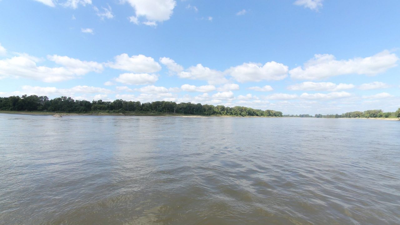
10 frames across 1.6 mi of the route around this location
Analyses
Artwork
Help improve this record
See something that needs correcting, or know a source we are missing? The archive gets better through its readers.


