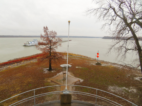
On the expedition’s final day encamped at the mouth of the Ohio, Clark completes his survey of that river’s confluence with the Mississippi, and Lewis makes celestial observations.
Clark’s Survey
at the mouth of the Ohio we delayed five Days in which time I made a Complete Survey of the place . . . .
—William Clark1
Lewis’s Celestial Observations
Took equal altitudes . . . .
Altitude Art. Horzn. & Sectns. 41° 26′ 37″ Sextant Error 8′ 45″—
Altitude given by sextant
‘s center 39° 50’ 00″
Equal altitudes corrected
Chronometer too slow
—Meriwether Lewis
Notes
- James J. Holmberg, ed. Dear Brother: Letters of William Clark to Jonathan Clark (New Haven: Yale University Press, 2002), 60.


