Missouri River near Jefferson City area — Charles Floyd: June 15, 1804
we Set out at 5 oclock after much Feteaged of yesterdays
worke pased a Creek on the South Side Calleded Indian
Creek it is about 15 yards wide Good Level Land ower hunt-
ers Killed 4 Bars and 3 Deer Strong water encampt on the
N Side opset to antent old villag of Missures Indians but the
Saukies beng two trobelsom for them was forst to move and
take protections under the Gran ossags as they war Reduse*
Small handsom a prarie as ever eney man saw the river is
3 miles wide hear
Saurday Fune 16%
~we Set out at 8 oclock day Clouday with rain nothing
Remarkeble to Day water verry Srong past one place whare
the water Roles over the Sand with grait fall and verry Dan-
geris for Boats to pass past Severall Isl* maid 10 miles
ouer hunters Did not Return Last night encamped on the
N Side of the River the Land is Good hear and well timber*
Entities mentioned in this entry
Auto-extracted from the entry text. Hover any entity for context.
Terrain360 · the place today
Missouri River near Jefferson City area in 360°
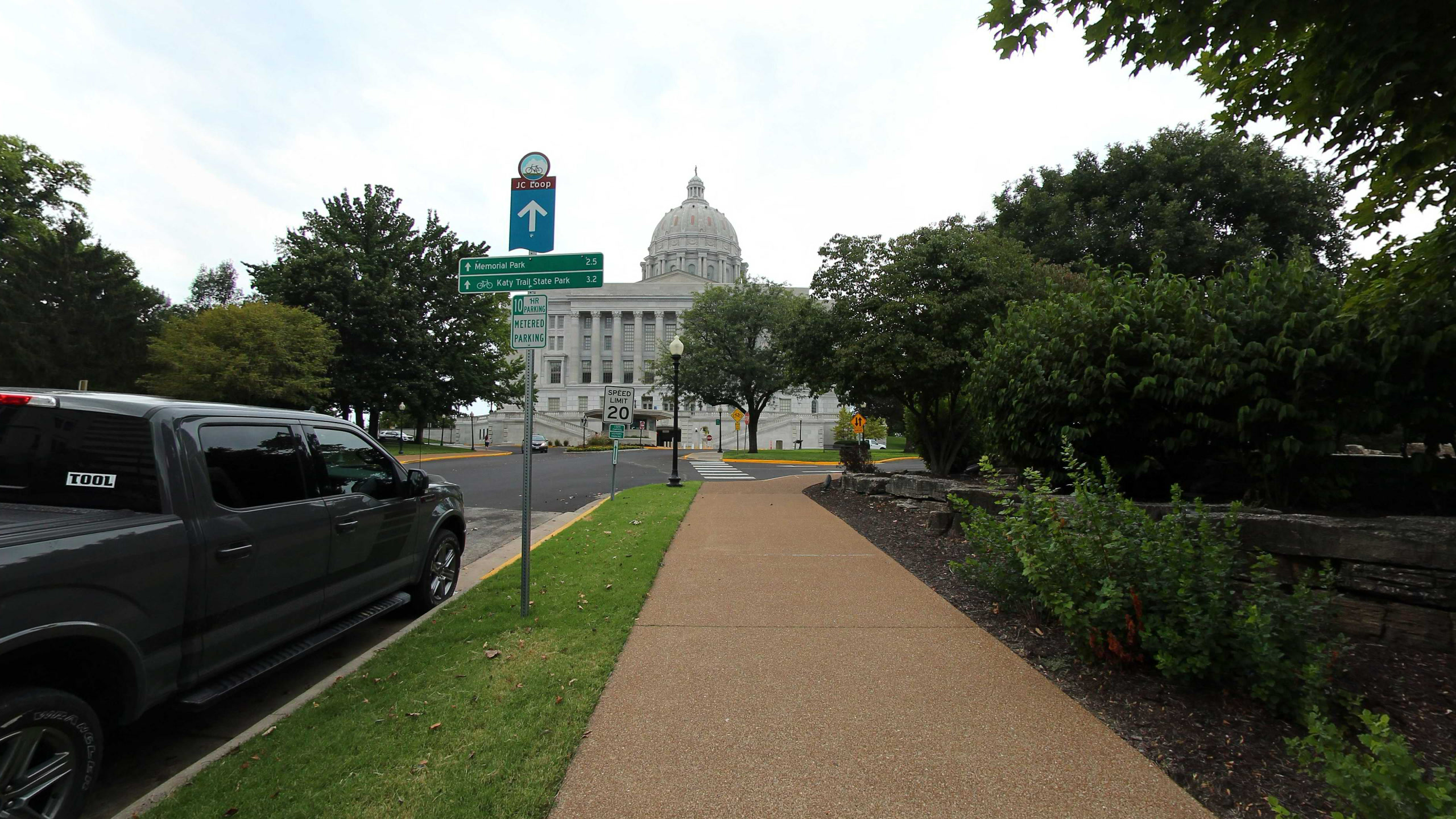
8 frames across 0.0 mi of the route around this location
Help improve this record
See something that needs correcting, or know a source we are missing? The archive gets better through its readers.


