Missouri River near Niobrara River — John Ordway: September 2, 1804
last night § past 1 oC. of wind & rain from N. W. which lasted
ab* 2 hours. Cloudy this morning we Set off eairly. Sailed a
Short distance with a S. E. wind & in less than 2 hours the wind
Shifted in to the N. W. which Blew hard a head, G. Drewyer
R. Fields & Collins out hunting this morning on N. S. as we
passed or [were] passing a prarie on S. S. we heard Several guns
fire which we Supposed to be our hunters, directly we heard
them hollow from the Island for help to bring in their Game,
R. Fields killed one Buck Elk, and Drewyer killed 2 Elk & New-
man & Howard killed one on the opposite Shore; we halted to
take Breakfast at 8 o.C. at a Bottom prarie, where their was an
ancient fort.2 the Entrenchment which formed a Circle from the
river in the form of a half moon, at the lowest End Cap* Clark
went on Shore with the compass in order to find the angles & the
Boats went on to the head of Elk or Bon hommen Isd Island, the
wind Shifted into the North & Blew So heard that we were
obledged to lay by at a high Bluff, ab* Elk or Bon hommen Isd3
handsome high praries back from the river, we found plumb or-
chads on a Spring run & an amence Site of Grapes as before, we
Scarcely passed a day as yet on the Missouri, in the time or Season
1 Near the eastern boundary of Bonhomme County, S. Dak. The island
opposite which the camp was pitched still retains the name Bonhomme, which
it bore in 1804.
2 Clark gives an elaborate description <>f the fortification; but modern au-
thorities agree that the supposed earthworks were in fact only natural for-
mations made by the drifting sand.
JThe camp for the day was in Knox County, Nebr., opposite the town of
Bonhomme, S. Dak.
1804] SERGEANT ORDWAY’S JOURNAL 125
of them but what we found them in great abundance &. C.
the weather is Cool & rainy to day Cap* Clark returned to the
Boat, & Informed us that [there] had been a large ancient fortifi-
cation made their. Some places remains yet 5 feet high & on one
Side of it is nearly Strait across the point & strikes the river, & is
more than a mile & half in length & so ancient that Some Trees
Stands on the works &. C. considerable of cottonwood Timber on
the Upper part of this point back from the river is Broken Barren
hills which are verry high & Sandy &. C.
Entities mentioned in this entry
Auto-extracted from the entry text. Hover any entity for context.
Terrain360 · the place today
Missouri River near Niobrara River in 360°
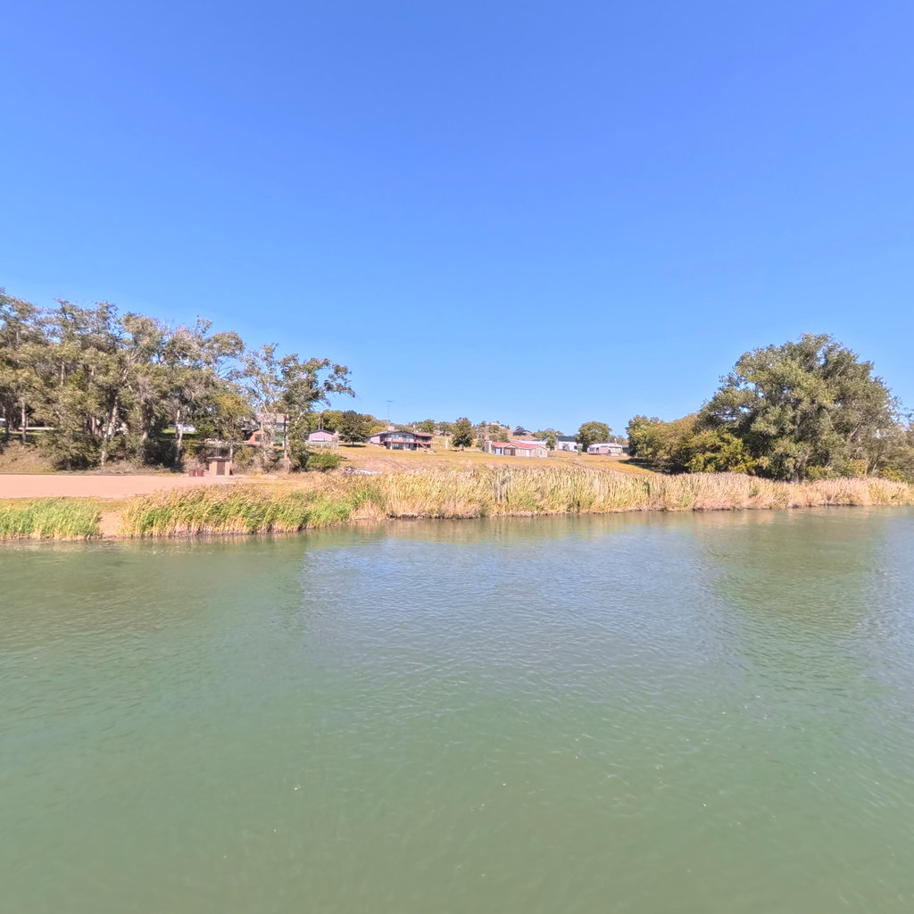
10 frames across 0.9 mi of the route around this location
Help improve this record
See something that needs correcting, or know a source we are missing? The archive gets better through its readers.


