Marias River decision camp — Joseph Whitehouse: June 8, 1805
OME cloudy. the wind blew cold from the S. W. Sev-
S eral men went out to hunt. about g oC. cleared off
pleasant. the Indian goods &c put out to air. we Saw
the high mountain to the west of us covered with Snow. the
South fork of the Missourie is high & of a yallow coulour to
day, & the North fork more white & rile than before, owing as
we expect to the rains & Snow melting above, on the moun-
tains. about 3 oClock P. M. Cap! Lewis & party returned to
Camp, & Informed us that they had been about 60 miles dis-
tant up the north fork, had traveled through high plains the
greater part of the way. they found that the N. fork keeps its
bigness, pleanty of water, considerable of timber in the bottoms
& an amence cite [sight] of game. they killed a great deal of
Elk Buffalow Deer &c. &c. but Cap! Lewis thinks that the
N. fork bears too far North for our course to cross the Moun-
tains, for if we Should take the wrong River, we Should have
more mountains to cross & further to go by land to git to the
Columbia River, which we have to descend to the west. So
the Cap conclude to take the South fork & proceed, and
named the North fork River Mariah, but it has the resem-
blence of the Missourie below the forks in everry respect, & the
middle fork they name Tanzey River the water &c. of which
resembles the Missourie also. the men in Camp generally em-
ployed Dressing Skins &c. towards evening the hunters all
returned had killed sev! Elk 13 deer and one beaver. the
wind blew from the East, a light Shower of rain this evening.
VOL. VII. —7 [97]
LEWIS AND CLARK JOURNALS _ [Juneg
Entities mentioned in this entry
Auto-extracted from the entry text. Hover any entity for context.
Terrain360 · the place today
Marias River decision camp in 360°
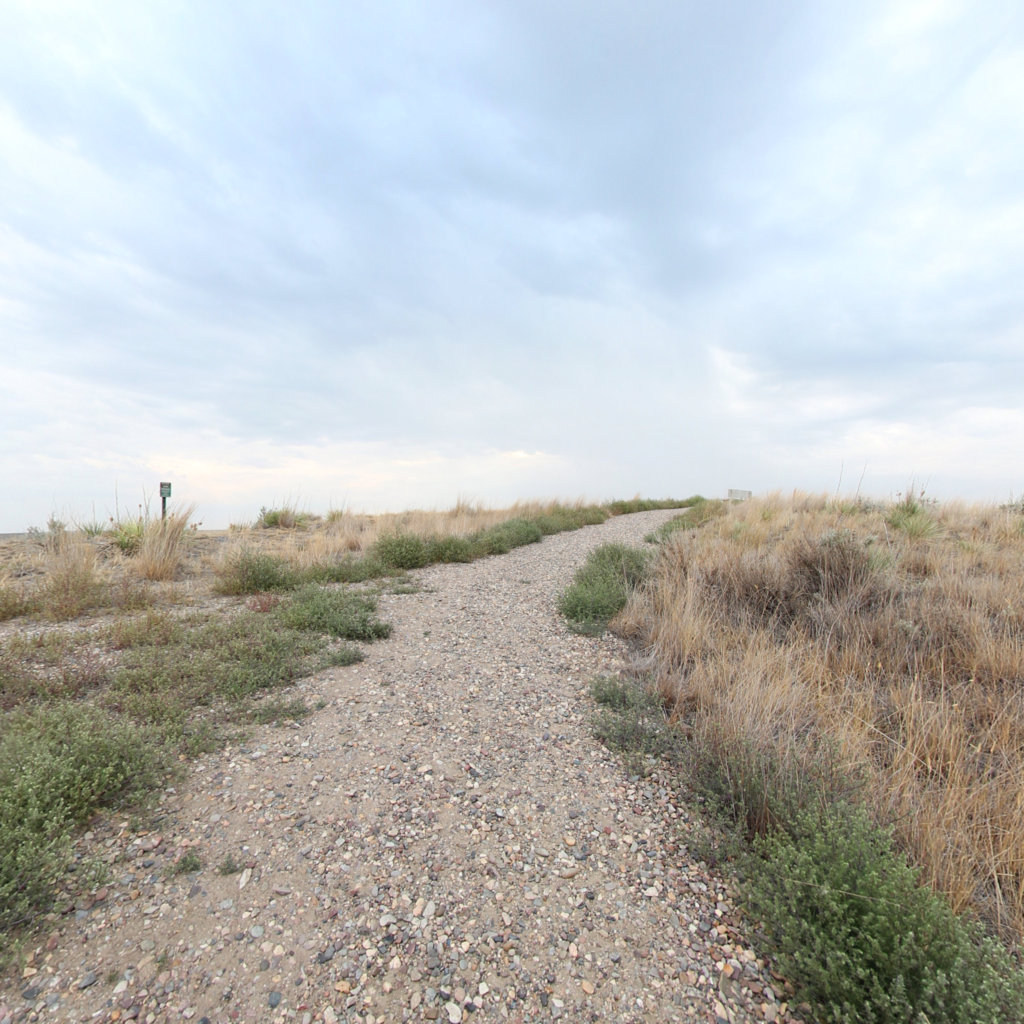
10 frames across 0.2 mi of the route around this location
Artwork
Help improve this record
See something that needs correcting, or know a source we are missing? The archive gets better through its readers.


