Expedition place · September 1, 1803
Neville Island and Woollery’s Trap
1 journal entry · Recorded by Meriwether Lewis
Terrain360 · the place today
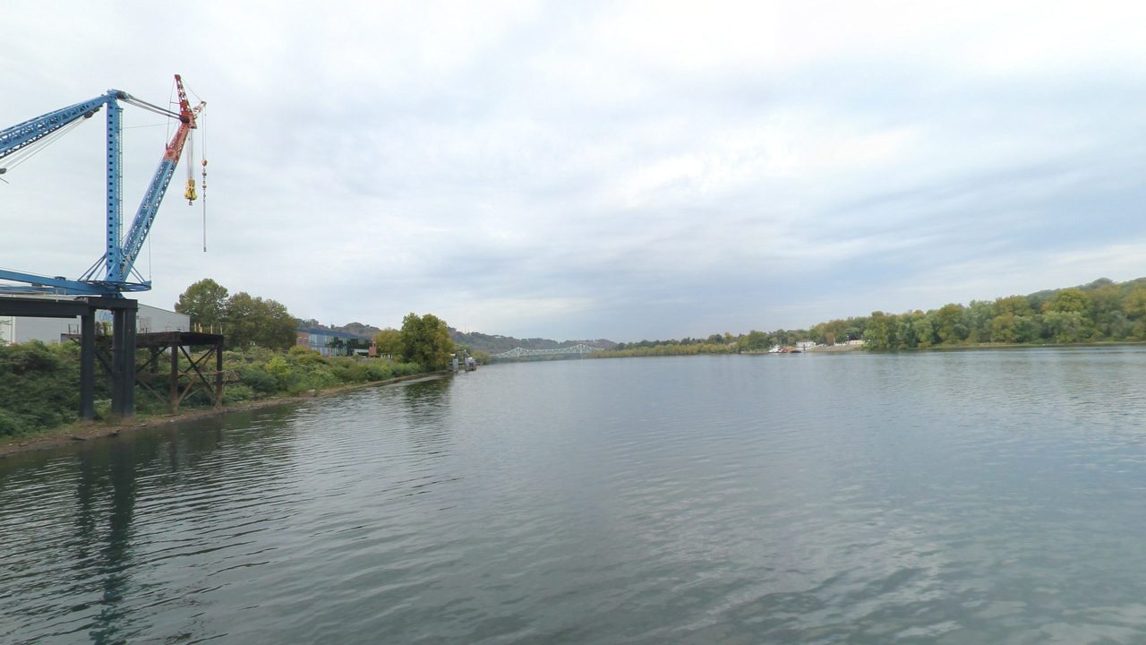
Neville Island and Woollery's Trap in 360°
10 frames across 1.9 mi of the route around this location
What happened here
September 1 began in fog so thick that the pilot advised waiting, and the boat did not move until eight. While they waited Lewis wrote out his explanation: the fog came from river water warmer than the air above it, an idea he went on to test with a thermometer over the next few days. Then the crew worked down along the island now called Neville Island, Irwin’s Island in Cramer’s river guide of 1802.
At the little Horsetail riffle all hands labored in the water for two hours. At the big Horsetail they unloaded the goods and lifted the empty boat over. About five in the afternoon they reached Woollery’s Trap, which the boat could not pass even unloaded, so Lewis hired a man with a team of oxen and got off. They put in for the night, apparently just below, having made only ten miles.
Lewis names no modern place here. Cramer’s later editions put the Horsetail ripple about halfway down the island and Woolery’s ripple, or trap, a little below its foot, where the channel crossed toward Middletown, today’s Coraopolis. Those descriptions place the trap near the foot of the island only to within about half a mile, and who Woolery was is not known. The 1821 edition calls the island Monture’s, the earliest use of that name found so far. Montour Run, which reaches the back channel opposite the island’s lower end, and the Montour Trail share the name; the trail’s Mile 0.0 trailhead near Coraopolis is about half a mile from the back channel and 1.3 miles from the foot of the island. The Montour Trail is not part of the national historic trail.
In the journal
all hands laboured in the water about two hours before we effected a passage
I therefore employed a man with a team of oxen with the assistance of which we at length got off
Read the full research
- Pittsburgh to Wheeling, 1803: Lewis’s First Ten Days on the Ohio August 31 to September 9, 1803: Lewis’s descent of the upper Ohio, riffle by riffle, from his own journal, with the places, the people he met, and what the record leaves open.
Sources
- Meriwether Lewis, journal, September 1, 1803, in Milo M. Quaife, ed., The Journals of Captain Meriwether Lewis and Sergeant John Ordway (State Historical Society of Wisconsin, 1916), 32-33. (opens in a new tab)
- Gary E. Moulton, ed., The Journals of the Lewis and Clark Expedition, vol. 2 (University of Nebraska Press), editor’s notes to the entry of September 1, 1803. (opens in a new tab)
- Zadok Cramer, The Ohio and Mississippi Navigator (Pittsburgh, 1802), “Irwins Island.” (opens in a new tab)
- Zadok Cramer, The Navigator, 8th ed. (Pittsburgh, 1814), entries No. 1 to No. 4 of the Ohio. (opens in a new tab)
- Zadok Cramer, The Navigator (Pittsburgh, 1821), 60-61. (opens in a new tab)
- Fortescue Cuming, Sketches of a Tour to the Western Country (1810), in Reuben Gold Thwaites, ed., Early Western Travels, vol. 4 (1904), 96. (opens in a new tab)
- Thomas Cushing, History of Allegheny County, Pennsylvania (1889), Coraopolis. (opens in a new tab)
- Montour Trail Council, trailheads (Mile 0.0, Montour Road). (opens in a new tab)
Updated October 13, 2026


