Missouri River near St. Joseph area — John Ordway: July 5, 1804
white horse a cross this River, proceeded on for two miles under
the bank where the old Kansas Town formerly Stood (Say in
1724) the cause of those people moveing from this place we
cannot learn, but naturly conclude that war has reduced their
nation and compelled them to retire further into the plains with
a view of defending themselves. I did not mention on yester-
day that the Lake on the north side was large say f of a Mile
wide & 7 or 8 miles long [with] one Creek & several Creeks run-
ing in to it from the hills it contains a great quantity of fish
and Goslings from which it takes its name, we passed Some verry
bad sand bars the Boat turned three times once on a Drift
wood, but recived no procevable damage, we came too at a beaver
house for Dinner, the high land on the South Side is open a fiew
trees scattering, we passed a Small creek on the left named
Yallow Oakey Creek,3 we Camped on the South Side under a
high bank, the land on the opposite Side is well timbered good
bottom, fine place for a Range verry thick high Rushes for
common
Entities mentioned in this entry
Auto-extracted from the entry text. Hover any entity for context.
Terrain360 · the place today
Missouri River near St. Joseph area in 360°
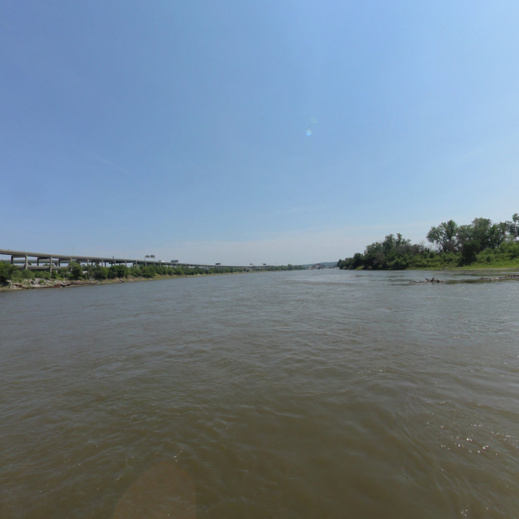
10 frames across 1.7 mi of the route around this location
Help improve this record
See something that needs correcting, or know a source we are missing? The archive gets better through its readers.


