Departed Fort Clatsop, ascending Columbia River — John Ordway: March 26, 1806
the tide rose higher than common and came in under my blankets
before I awoke and obledged me to move twise Several more of
the party camps were routed also, our officers gave one of the
Cathlih mahs a meddel. he gave them in return a large Sturgeon,
we proceeded on our way and halted on fanneys Island6 to dine
1 The party is ascending the river along the left, or Oregon side. Thwaites
(III, 252) locates this village “near the present town of Knappa, on the Colum-
bia River Railway.” Here the explorers had stopped on Nov. 26, 1805, the
day they crossed to the south side of the Columbia in search of a suitable site
for winter quarters.
2 “and the inhabitants,” adds Clark, “partake of the Carrestick [character-
istic] of the village.”
3 “In Clatsop County, Ore., near the lower end of Tenasillihee Island.”
Coues.
4 Puget Island.
6 The day’s camp was on the opposite side of the river from that of Nov.
6, 1805. It was in Columbia County, Ore., across the river from Cape Horn.
6 Named for Clark’s younger sister, Frances; it is modern Grim’s Island,
located a little below Green Point, Ore. Coues.
1806] SERGEANT ORDWAY’S JOURNAL 333
then proceed on as usal Camped on an Island1 in thick brush
&C.
Entities mentioned in this entry
Auto-extracted from the entry text. Hover any entity for context.
Terrain360 · the place today
Departed Fort Clatsop, ascending Columbia River in 360°
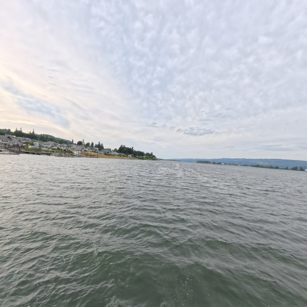
10 frames across 1.6 mi of the route around this location
Help improve this record
See something that needs correcting, or know a source we are missing? The archive gets better through its readers.


