Missouri River near St. Joseph area — John Ordway: July 8, 1804
on board about 8 oClock proceeded on along the North Side of
an Island called Nodaway Island, high well timbered land on
the North Side, passed a Creek near the upper end of this long
Island called Nodaway Creek or River4 we Camped on the
North Side of the Missouris,5 the Hunters killed one Deer to day
but did not Join us at night.
1 Ordway here seems to have fallen into error through attempting to copy
Clark. The latter speaks of passing “Reeveys Prarie,” July 6, and “St Michel’s,”
July 7. Ordway alone supplies an explanation of the origin of the name of
the latter.
2 Floyd and Gass state that the encampment was at Whippoorwill Creek;
identified by Coues as modern Peters Creek, Doniphan County, Kans.
3 Unfortunately for the fame of Ordway Creek, Lewis’ journal for the day,
if he kept one, is lost, and Clark makes no mention of the stream or its name.
The party passed the site of St. Joseph, Mo., this day.
4 The modern name, correctly spelled. In this achievement Ordway excels
all of the other diarists who mention the river. Whitehouse writes the name
twice, once as “Nan doughe,” and again as “Nandouie.” He also records the
explanation that the English significance of the term is “woody river.” Coues
says the word means “some kind of snake,” and that the stream has sometimes
been called Snake River.
6 At the head of Nodaway Island, opposite the town of Nodaway, Mo.
94 WISCONSIN HISTORICAL COLLECTIONS [July 9
Entities mentioned in this entry
Auto-extracted from the entry text. Hover any entity for context.
Terrain360 · the place today
Missouri River near St. Joseph area in 360°
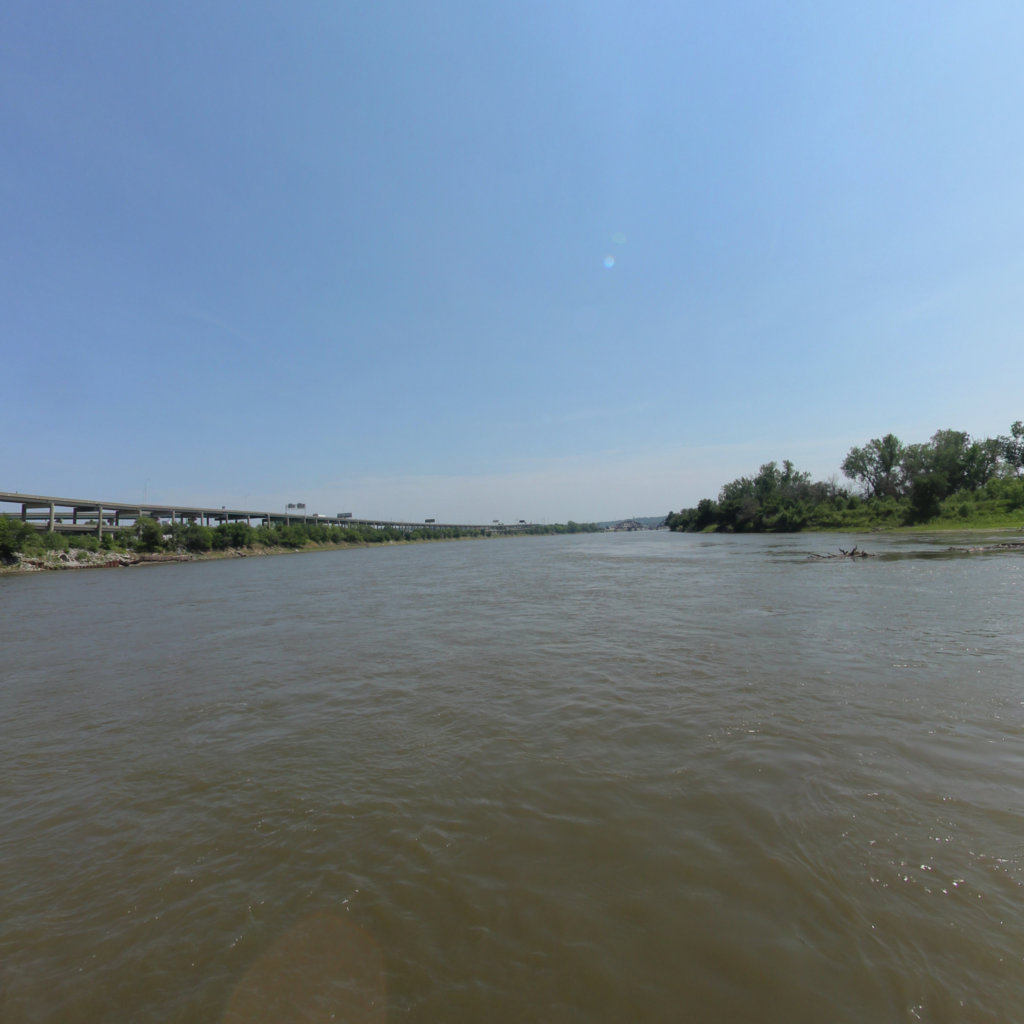
10 frames across 1.7 mi of the route around this location
Help improve this record
See something that needs correcting, or know a source we are missing? The archive gets better through its readers.


