
Journal entry · May 14, 1804
Patrick Gass: May 14, 1804
Patrick Gass · Camp River Dubois, Illinois
That night's camp, per the NPS campsite reconstruction (Bergantino): island left side of Missouri River opposite Coldwater Creek, MO
On Monday the 14th of May 1804, we left our establishment at the mouth of the river du Bois or Wood river, a small river which falls into the Mississippi, on the east side, a mile below the Missouri, and having crossed the Mississippi proceeded up the Missouri on our intended voyage of discovery, under the command of Captain Clarke. Captain Lewis was to join us in two or three days on our passage. The expedition was embarked on board a batteau and two periogues. The day was showery and in the evening we encamped on the north bank six miles up the river.
Source: Patrick Gass, A Journal of the Voyages and Travels of a Corps of Discovery (Pittsburgh, 1807; 1811 reprint). Public domain. McKeehan’s published prose, not Gass’s lost original notebook.
The NPS atlas for this night
island left side of Missouri River opposite Coldwater Creek, MO
NPS campsite reconstruction (Bergantino)
About 5.3 miles of travel mapped this day (NPS’s reconstruction of the course)
NPS sites within 5 miles of this camp
- Fort Belle Fontaine (opens in a new tab) NPS High Potential Historic Site · National Register · 0.6 mi
- Winter Camp at Wood River (opens in a new tab) NPS High Potential Historic Site · 4.8 mi
Source: National Park Service, Lewis and Clark National Historic Trail Park Atlas.
Terrain360 · the place today
Camp River Dubois, Illinois in 360°
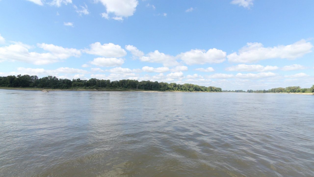
10 frames across 1.6 mi of the route around this location
Help improve this record
See something that needs correcting, or know a source we are missing? The archive gets better through its readers.


