
Journal entry · May 15, 1804
Patrick Gass: May 15, 1804
Patrick Gass · Camp River Dubois, Illinois
That night's camp, per the NPS campsite reconstruction (Bergantino): left shore, Pipers Landing, MO
Tuesday 15th. We continued our voyage; it rained during the day. We passed a creek on the south side, and encamped on the north side of the river.
Source: Patrick Gass, A Journal of the Voyages and Travels of a Corps of Discovery (Pittsburgh, 1807; 1811 reprint). Public domain. McKeehan’s published prose, not Gass’s lost original notebook.
The NPS atlas for this night
left shore, Pipers Landing, MO
NPS campsite reconstruction (Bergantino)
About 10.6 miles of travel mapped this day (NPS’s reconstruction of the course)
NPS sites within 5 miles of this camp
- Charbonier Bluff (opens in a new tab) NPS High Potential Historic Site · National Register · 4.1 mi
Source: National Park Service, Lewis and Clark National Historic Trail Park Atlas.
Terrain360 · the place today
Camp River Dubois, Illinois in 360°
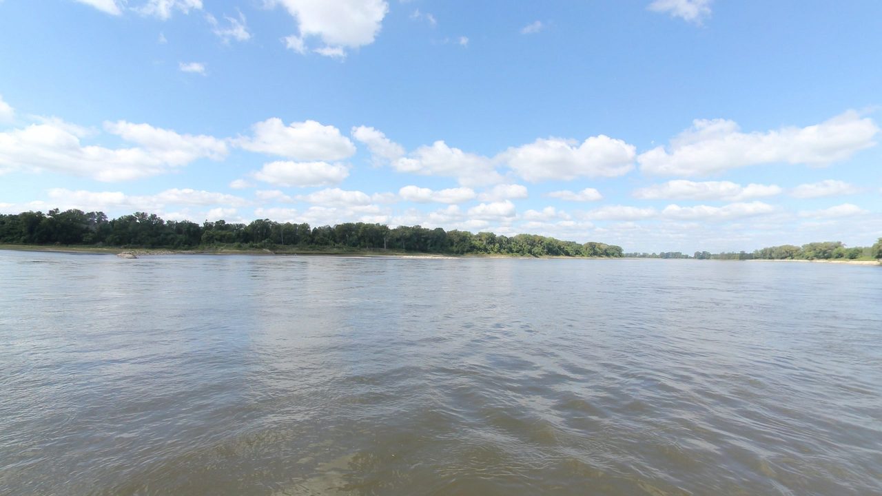
10 frames across 1.6 mi of the route around this location
Help improve this record
See something that needs correcting, or know a source we are missing? The archive gets better through its readers.


