Journal Entry
Fort Mandan: February 22, 1805
February 22, 1805
Winter continued at Fort Mandan. The captains worked on reports, maps, and specimen collections to send back to President Jefferson when the keelboat returned downstream in spring. Clark refined his maps of the Missouri River based on information from Mandan and Hidatsa informants.
Entities mentioned in this entry
People:
Places:
Weather:
Auto-extracted from the entry text. Hover any entity for context.
Terrain360 · the place today
Fort Mandan (winter) in 360°
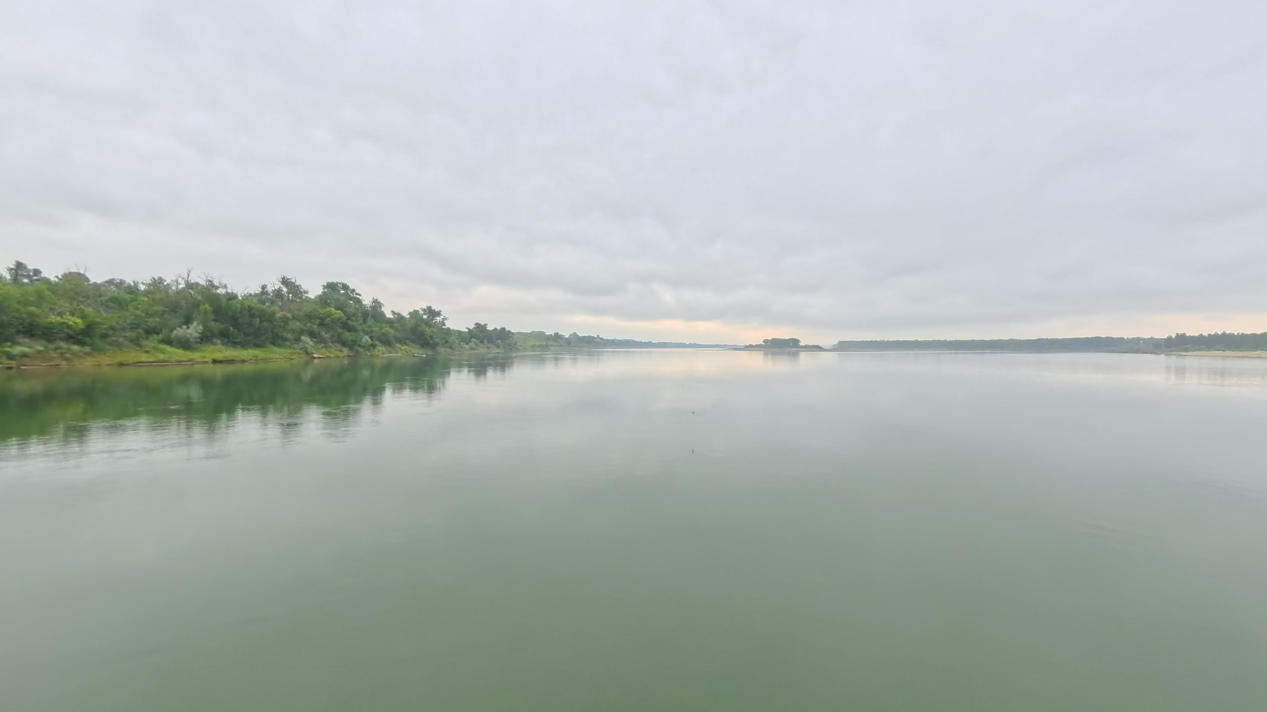
10 frames across 1.8 mi of the route around this location
Artwork
Help improve this record
See something that needs correcting, or know a source we are missing? The archive gets better through its readers.


