
Journal entry · May 14, 1804
Joseph Whitehouse: May 14, 1804
Joseph Whitehouse · Camp River Dubois, Illinois · Thwaites Vol. Thwaites Vol 7
That night's camp, per the NPS campsite reconstruction (Bergantino): island left side of Missouri River opposite Coldwater Creek, MO
hard Showers of rain. this being the day appointed by
Cap! Clark to set out, a number of the sitizens of Gotian
Settlement came to see us Start. we got in readiness. Cap!
Lewis is now at S! Louis but will join us at S! Charls. about
3 oclock P.M. Cap! Clark and the party consisting of three
Sergeants and 38 men who manned the Batteaux and 2
perogues. we fired our swivel on the bow hoisted Sail and
Set out in high Spirits for the western Expedition. we entered
the mouth of the Missourie haveing a fair wind Sailed ab! 6
miles and Camped on the North Side.
Entities mentioned in this entry
Auto-extracted from the entry text. Hover any entity for context.
The NPS atlas for this night
island left side of Missouri River opposite Coldwater Creek, MO
NPS campsite reconstruction (Bergantino)
About 5.3 miles of travel mapped this day (NPS’s reconstruction of the course)
NPS sites within 5 miles of this camp
- Fort Belle Fontaine (opens in a new tab) NPS High Potential Historic Site · National Register · 0.6 mi
- Winter Camp at Wood River (opens in a new tab) NPS High Potential Historic Site · 4.8 mi
Source: National Park Service, Lewis and Clark National Historic Trail Park Atlas.
Terrain360 · the place today
Camp River Dubois, Illinois in 360°
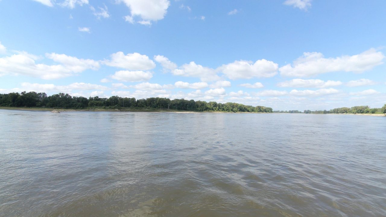
10 frames across 1.6 mi of the route around this location
Analyses
Artwork
Help improve this record
See something that needs correcting, or know a source we are missing? The archive gets better through its readers.


