Before the Missouri, there was the Ohio. The expedition’s first eleven weeks were spent not in the West at all, but descending the Ohio River from Pittsburgh to its mouth — recruiting the Corps, testing the keelboat, and fighting the lowest water anyone could remember. The National Park Service now recognizes this stretch as the Eastern Legacy of the Lewis and Clark National Historic Trail. This article follows that first leg town by town, and is careful to distinguish three kinds of knowledge: what the surviving journal records, what letters and rolls document, and what rests on tradition.
What the journal records: Pittsburgh to Marietta
Meriwether Lewis pushed off from Pittsburgh at ten in the morning on August 31, 1803, in a 55-foot keelboat built too late in a dry summer, with his Newfoundland dog Seaman aboard. His so-called Eastern Journal — first published in Milo Quaife’s 1916 edition, and transcribed among this site’s journal entries from August 30, 1803 onward — records the miserable first weeks: dragging the boat over riffle after riffle, hiring horses and oxen from riverbank farmers to haul it through, and losing his first experiments to leaky canoes. In the first week of September the party worked past Georgetown and Steubenville, and spent September 7–9 at Wheeling taking on a pirogue and supplies.
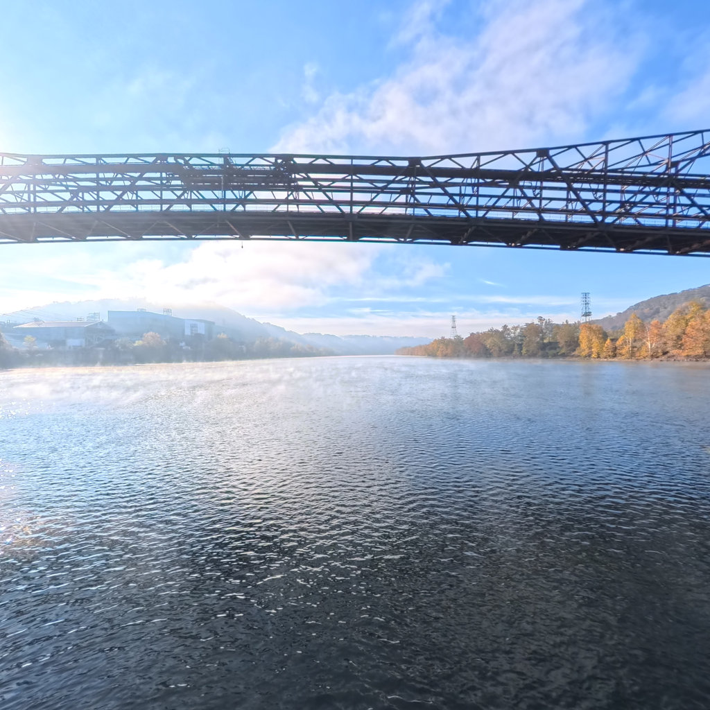
Terrain360's Steubenville riverfront capture – 244 panoramas of the reach Lewis worked down in early September 1803.
Open the 360° tour ↗
The silent stretch: September 19 – November 10
Lewis’s journal breaks off after September 18, 1803, and no daily record by any hand survives for the next seven and a half weeks. The party’s movements are known instead from letters and later documents. They certainly passed the mouth of the Big Sandy — today’s Ashland, Kentucky — and the mouth of the Scioto at Portsmouth, Ohio in the last week of September, because the river was the only road; Lewis was in Cincinnati by September 28, where his October 3 letter to President Jefferson survives, full of the fossil bones he had just examined at Big Bone Lick.
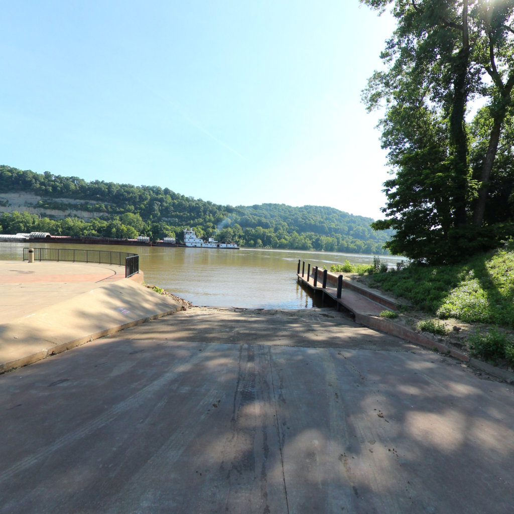
The Ashland landing on the Ohio, captured by Terrain360 – the Big Sandy confluence the party passed in late September 1803.
Open the 360° tour ↗
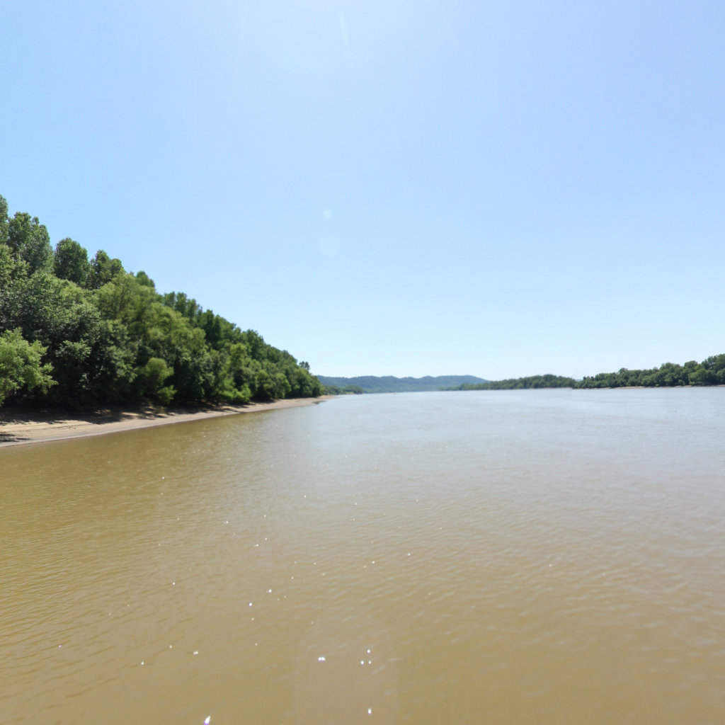
Terrain360's 1,586-panorama capture of the Ohio past the Scioto mouth at Portsmouth and New Boston.
Open the 360° tour ↗
The Falls of the Ohio: the Corps is born
Lewis reached the Falls of the Ohio on October 14, 1803, and there the expedition became a partnership: William Clark came aboard at Clarksville with York, the man he enslaved, and the recruits history remembers as the Nine Young Men from Kentucky — among them Charles Floyd and Nathaniel Pryor. On October 26 the enlarged party pushed off from the Falls into a stretch of river where, once again, no journal survives.
The first camp below the Falls: West Point, Kentucky
Where did the Corps of Discovery spend its first night together on the river? No journal records it. Local and trail-community tradition — consistent with a day’s travel from Clarksville — places that first camp of October 26, 1803 at the mouth of the Salt River, where the town of West Point, Kentucky stands today beneath the bluff later crowned by Civil War–era Fort Duffield. We present it as exactly that: a well-rooted tradition on an undocumented stretch, not a journal fact.
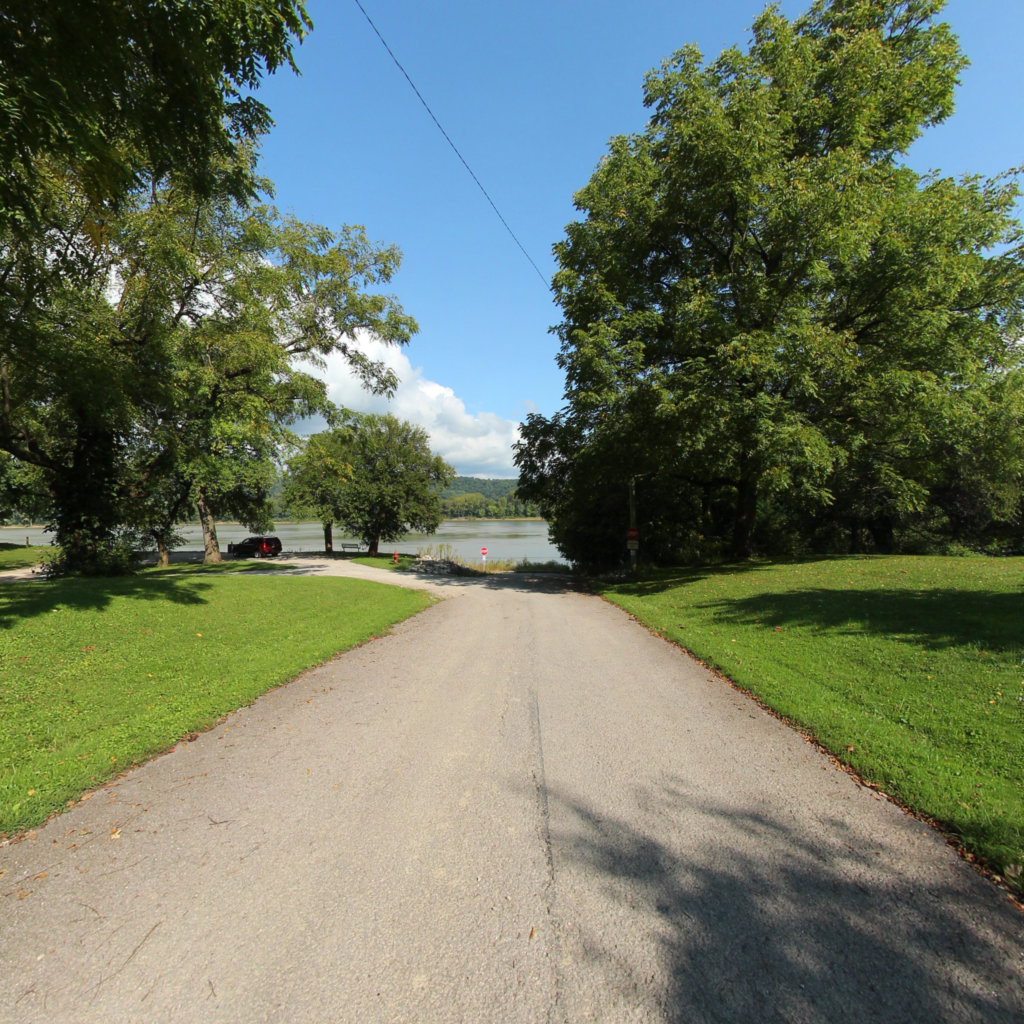
The Salt River confluence at West Point – the traditional first camp below the Falls, captured by Terrain360.
Open the 360° tour ↗
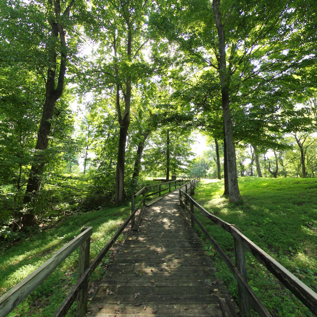
The bluff over the confluence, today preserved as Fort Duffield park.
Open the 360° tour ↗
The record resumes: Fort Massac to the Mississippi
Lewis’s journal picks up again on November 11, 1803 at Fort Massac, where the party engaged George Drouillard — the hunter and sign-language interpreter who would become one of its most valuable members. From November 14 the captains spent days at the Ohio–Mississippi confluence taking celestial observations before turning upstream for Camp Dubois. From here forward, the record on this site runs nearly unbroken to St. Louis in 1806.
Sources and method
Documented statements above rest on Lewis’s Eastern Journal (published in Quaife, 1916; public domain), the surviving 1803 journal entries transcribed on this site, and Lewis’s correspondence of the descent. The Salt River first-camp attribution is identified in the text as tradition. Undated passages within September 19 – November 10 are inferred from the geography of the river and the documented endpoints, and are worded accordingly. The 360° imagery is Terrain360’s capture of the Ohio today — explore the full river on the Trail Explorer.


