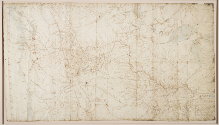
Clark’s Sketch of the Great Falls of the Missouri
Clark’s sketch depicts the series of cascades on the Missouri River in what is now central Montana, drawn in pen and ink within the pages of his field journal. The image is a working diagram rather than a finished landscape: Clark renders the river’s course from above, marking the five distinct falls—the Great Falls, Crooked Falls, Rainbow Falls, Colter Falls, and Black Eagle Falls—along with notations on distances, drops in elevation, and the surrounding terrain. Islands, rapids, and the path of the portage are indicated with brief linear strokes and accompanying script. The sketch combines cartographic convention with observational drawing, prioritizing measurement and spatial relationship over pictorial effect.
The Corps of Discovery reached the Great Falls on June 13, 1805, when Meriwether Lewis, walking ahead of the main party, became the first member of the expedition to see them. The cascades forced the most arduous land portage of the journey: roughly eighteen miles overland to bypass the falls, hauling dugouts and supplies on improvised wheeled carriages cut from cottonwood. The portage occupied the expedition from late June into mid-July 1805 and was complicated by hailstorms, grizzly bears, prickly pear, and the failure of Lewis’s iron-frame boat at the upper camp. Clark, who served as the expedition’s principal cartographer, surveyed the falls and the portage route during this period, and the sketch belongs to the body of field documentation he produced to record the geography for later mapmaking.
William Clark (1770–1838) generated hundreds of maps and topographic drawings during the expedition and in the years following, culminating in his 1814 master map of the American West. His field sketches, including this one, were retained with the expedition journals and eventually deposited at the American Philosophical Society in Philadelphia, which holds the principal Lewis and Clark journal collection through its acquisition from the descendants of the captains and from Nicholas Biddle’s editorial papers. The Great Falls sketch is among the most frequently reproduced of Clark’s drawings, cited in scholarship on the expedition’s cartography and in interpretive materials at the Lewis and Clark National Historic Trail Interpretive Center in Great Falls, Montana.