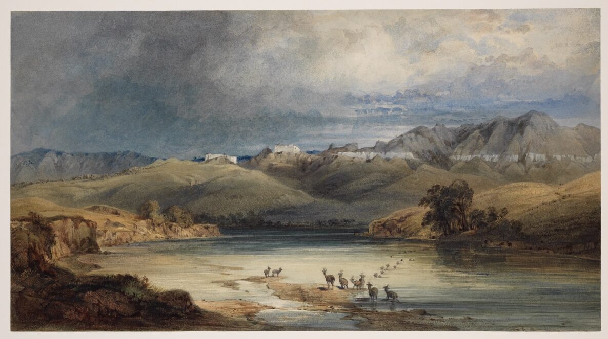
The White Castles on the Upper Missouri
Bodmer’s aquatint depicts a stretch of the Missouri River in what is now north-central Montana, where erosion of the white sandstone bluffs produced formations resembling fortifications, ruined towers, and walled cities. The composition frames the river in the foreground, with a low bank of vegetation and a small group of figures providing scale, while the pale cliffs rise in the middle distance against an open sky. Bodmer renders the stone in muted whites and grays, with subtle gradations achieved through the aquatint technique, which allowed tonal washes alongside engraved line. The horizontal format emphasizes the procession of cliff faces receding upriver.
The image dates from Bodmer’s 1833 ascent of the Missouri with the German naturalist Prince Maximilian of Wied-Neuwied. The two reached this section of the river in late May 1833, traveling by the American Fur Company steamboat Yellow Stone and then the keelboat Flora, en route to Fort McKenzie. The white sandstone formations had been described by Meriwether Lewis on May 31, 1805, in one of the more extended landscape passages in the expedition journals, where he compared them to ruined cities and elegant architecture. Bodmer’s view is essentially the visual counterpart to Lewis’s description, made by an artist who had read the published Lewis and Clark account and was deliberately retracing portions of the route.
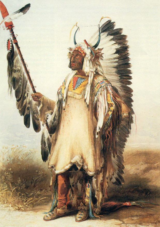
Karl Bodmer (1809–1893) was a Swiss-born painter engaged by Maximilian specifically to document the upper Missouri country and its Native peoples. The watercolors and sketches he produced on the 1832–1834 expedition were later worked up into the eighty-one aquatints that illustrate Maximilian’s Reise in das innere Nord-America (1839–1841), of which this plate is one. The Joslyn Art Museum in Omaha holds the principal collection of Bodmer’s original field watercolors and a complete set of the aquatints, acquired from the Maximilian-Wied estate via the InterNorth Art Foundation in the 1980s. Bodmer’s images, including this view, have long served as primary visual references in Lewis and Clark scholarship, providing the closest contemporaneous record of the landscapes the captains described three decades earlier.
Scene Location
White Cliffs of the Missouri, Montana