
Otoe-Missouria
The Otoe and Missouria were closely related Siouan-speaking peoples who, by 1804, had merged into a combined nation living along the lower Platte and Missouri Rivers in present-day southeastern Nebraska. On August 3, 1804, at a site the captains named "Council Bluffs" (near present-day Fort Calhoun, Nebraska), Lewis and Clark held their first formal council with any western Native nation, meeting with Otoe-Missouria leaders including Chief Little Thief and Big Horse. The captains delivered their standard diplomatic message—announcing American sovereignty following the Louisiana Purchase, urging intertribal peace, and distributing medals, flags, and gifts—establishing the template they would use throughout the journey.
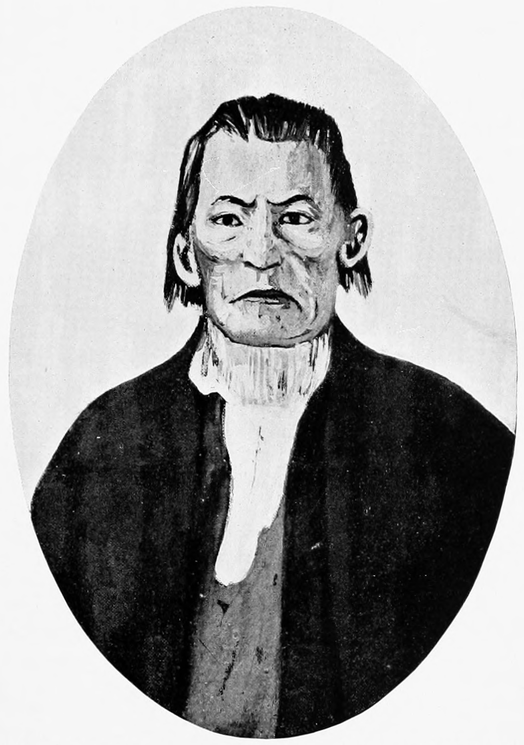
Portrait: Wikimedia Commons / Wikipedia: Otoe (Missouri Indian / Oto Indian)
Most Mentioned in Otoe-Missouria-tagged Entries
People
- Drouillard (7)
- Capt. Lewis (7)
- Reubin Field (4)
- Capt Clark (4)
- La Liberty (3)
- Reed (3)
- Charles Floyd (3)
- Willard (2)
- Big Horse (2)
- York (2)
Places
- Missouri River (9)
- Council Bluffs (3)
- Council Bluff (2)
- Indian Knob Creek (2)
- Osage river (2)
- Platte (2)
- Mississippi River (2)
- Platte River (1)
- Great River Platt (1)
- Great Plains (1)
Biography
The Otoe and Missouria peoples, closely related Siouan-speaking nations, were the first Native peoples with whom the expedition held a formal diplomatic council — at a site Lewis named “Council Bluff” near present-day Fort Calhoun, Nebraska, in August 1804.
The council set the template for dozens of similar meetings throughout the journey: Lewis delivered a speech about American sovereignty and trade, distributed gifts (medals, flags, trade goods), demonstrated the air rifle, and invited chiefs to visit the “Great Father” in Washington.
The Otoe and Missouria had been weakened by smallpox and warfare with other tribes. They were interested in the trade relationship the expedition promised but lacked the military power to resist or negotiate from strength.
Territory & Encounter Locations
Note: the longest gap between tagged appearances is about 19 months (Oct 10, 1804 → May 11, 1806). No journal entries during that window were explicitly tagged with this nation.
Treaties (4)
Tent of Many Voices (4)
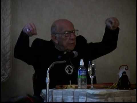

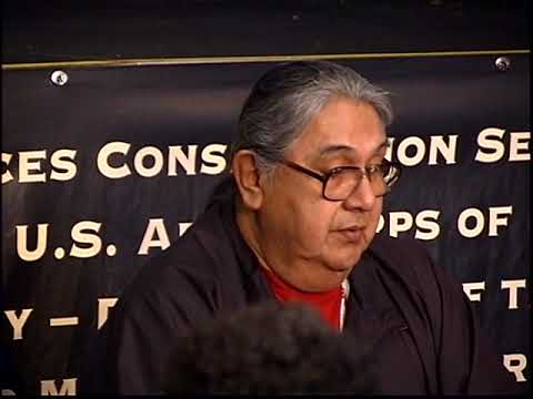
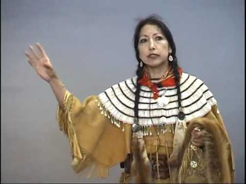
Journal Entries (30)

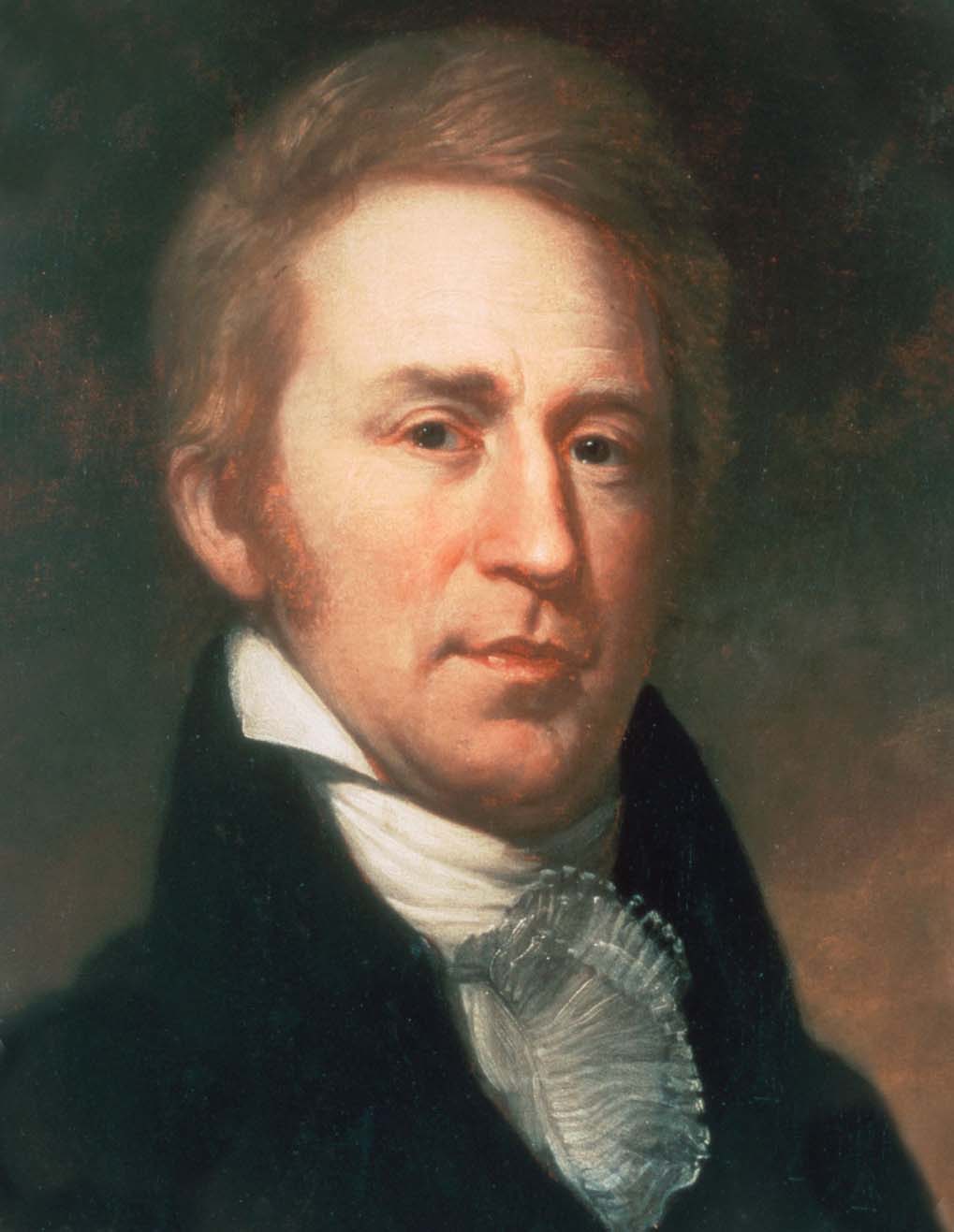
Cross-Narrator Analyses
Analyses that cite or discuss Otoe-Missouria — showing 2 of the most recent matches.
The Otoe-Missouria: First Council on the Plains
Who They WereBy the time Lewis and Clark ascended the Missouri in 1804, the Otoe and Missouria peoples were closely allied —…
The Otoe Nation: First Diplomatic Council on the Missouri
IntroductionThe Otoe (also spelled Oto) were a Siouan-speaking people of the lower Missouri valley, closely allied by this period with the Missouri…
Your Nation, your story
Are you a representative or member of this Nation? Help us tell this story accurately: review how your Nation is represented, correct the record, or contribute materials and perspective.


